AS09-21-3299
| NASA Photo ID | AS09-21-3299 |
| Focal Length | 80mm |
| Date taken | 1969.03.09 |
| Time taken | 18:06:00 GMT |
Resolutions offered for this image:
4400 x 4600 pixels 492 x 515 pixels 5210 x 5081 pixels 1897 x 1850 pixels 750 x 731 pixels 769 x 750 pixels
4400 x 4600 pixels 492 x 515 pixels 5210 x 5081 pixels 1897 x 1850 pixels 750 x 731 pixels 769 x 750 pixels

Cloud masks available for this image:
Spacecraft nadir point:
Photo center point: 32.8° N, 96.9° W
Photo center point by machine learning:
Photo center point: 32.8° N, 96.9° W
Photo center point by machine learning:
Nadir to Photo Center:
Spacecraft Altitude: 105 nautical miles (194km)
Country or Geographic Name: | USA-TEXAS |
Features: | DALLAS/FORT WORTH |
| Features Found Using Machine Learning: | |
Cloud Cover Percentage: | 0 (no clouds present) |
Sun Elevation Angle: | 53° |
Sun Azimuth: | ° |
Camera: | Hasselblad |
Focal Length: | 80mm |
Camera Tilt: | Near Vertical |
Format: | SO368: Kodak Ektachrome MS, equivalent to 2448 Kodak Aerochrome, ASA64, thin base, fine grain |
Film Exposure: | Under Exposed |
| Additional Information | |
| Width | Height | Annotated | Cropped | Purpose | Links |
|---|---|---|---|---|---|
| 4400 pixels | 4600 pixels | No | No | Download Image | |
| 492 pixels | 515 pixels | No | No | Download Image | |
| 5210 pixels | 5081 pixels | No | No | Download Image | |
| 1897 pixels | 1850 pixels | No | No | Download Image | |
| 750 pixels | 731 pixels | Download Image | |||
| 769 pixels | 750 pixels | Download Image |
Download Packaged File
Download a Google Earth KML for this Image
View photo footprint information
Download a GeoTIFF for this photo
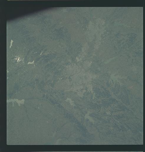
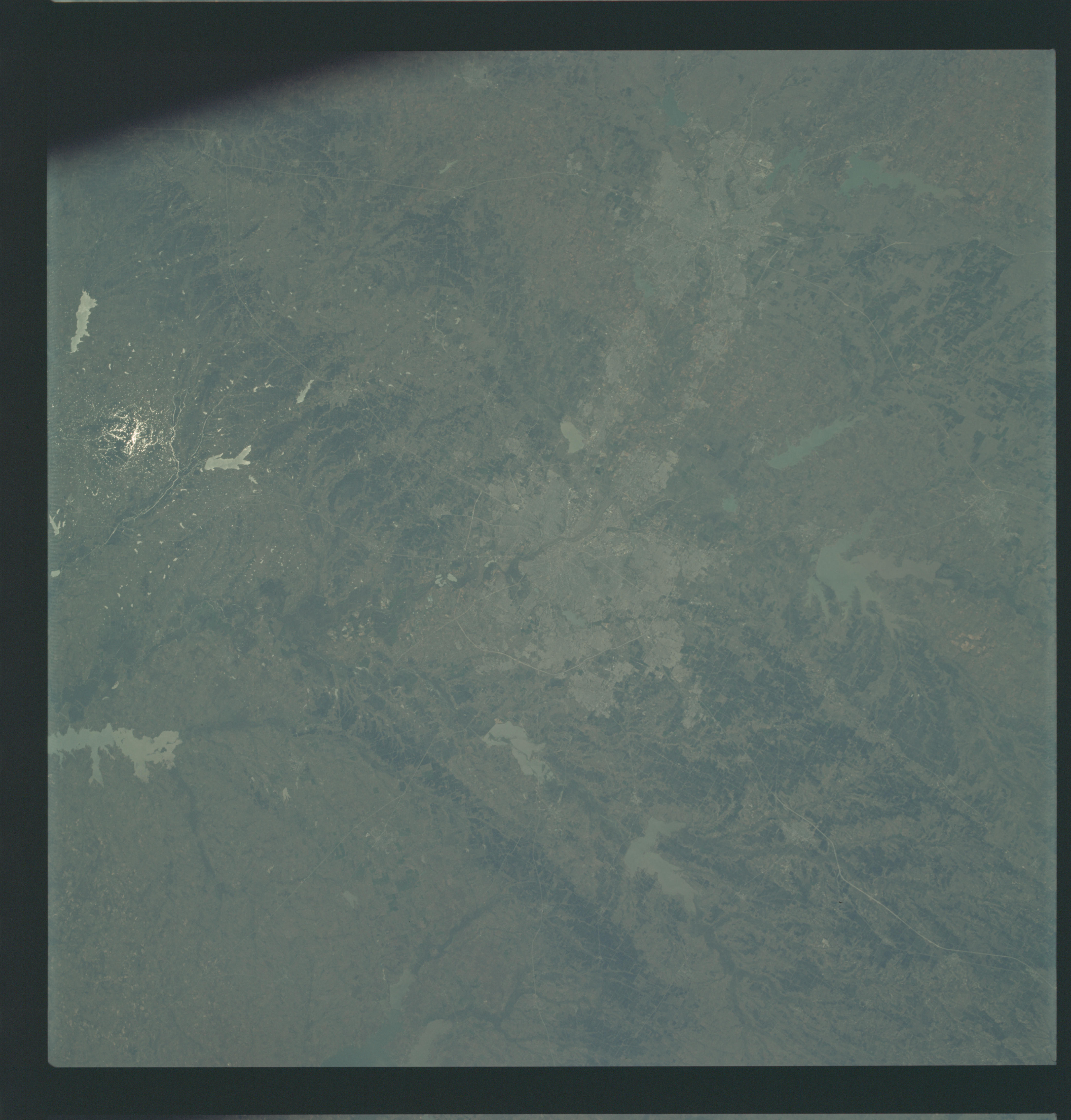
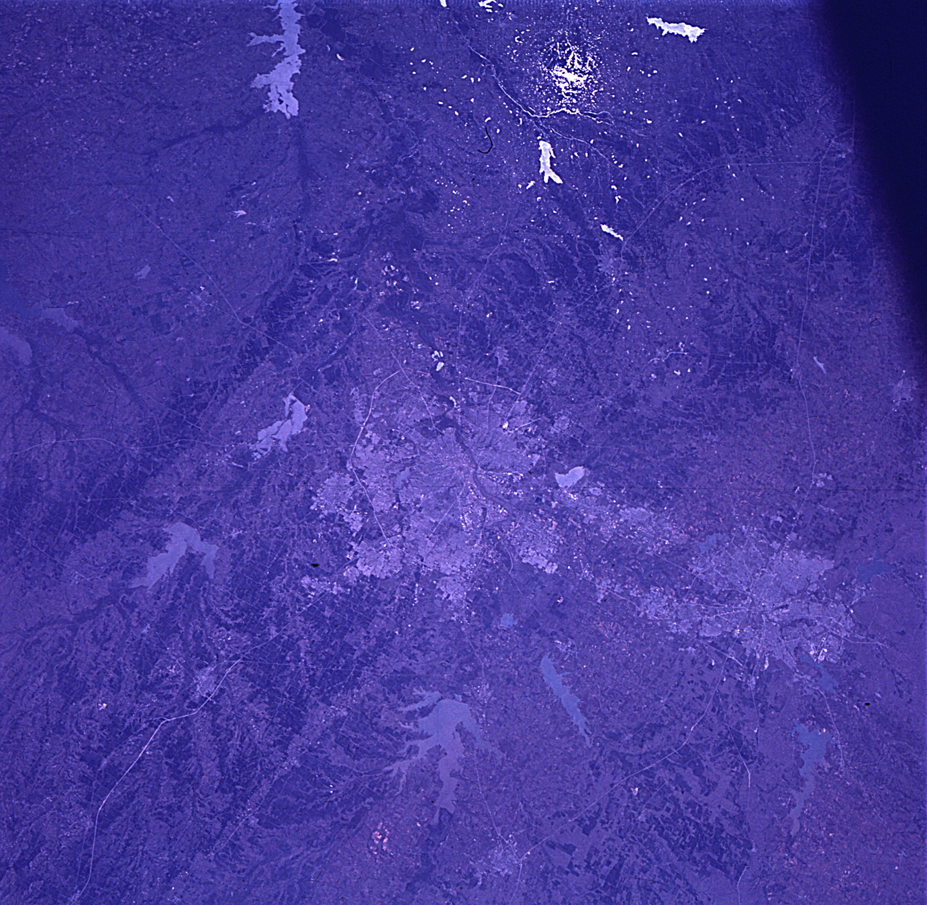
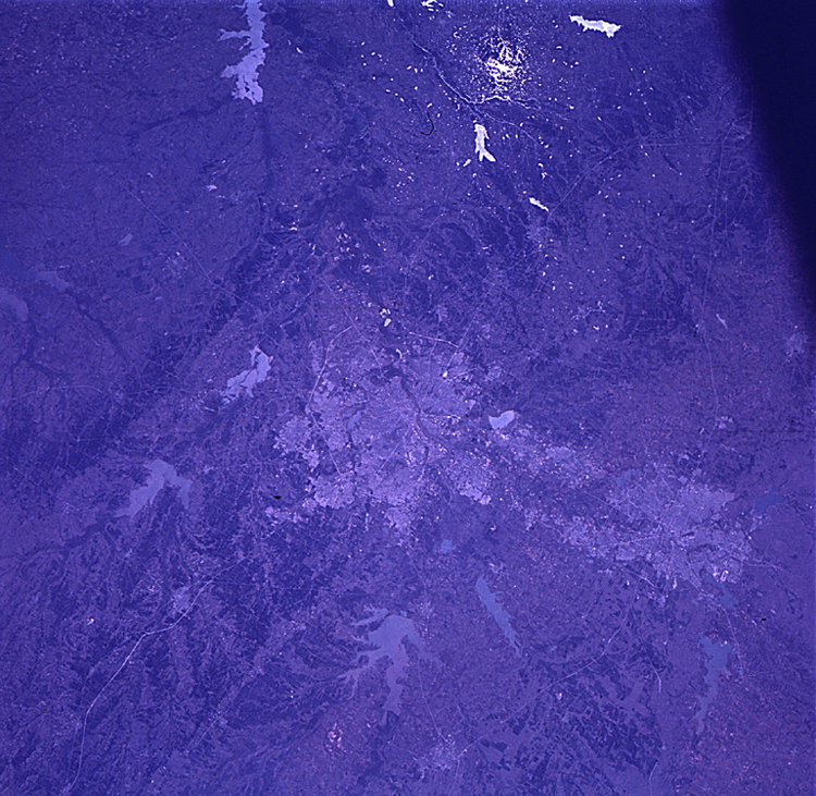
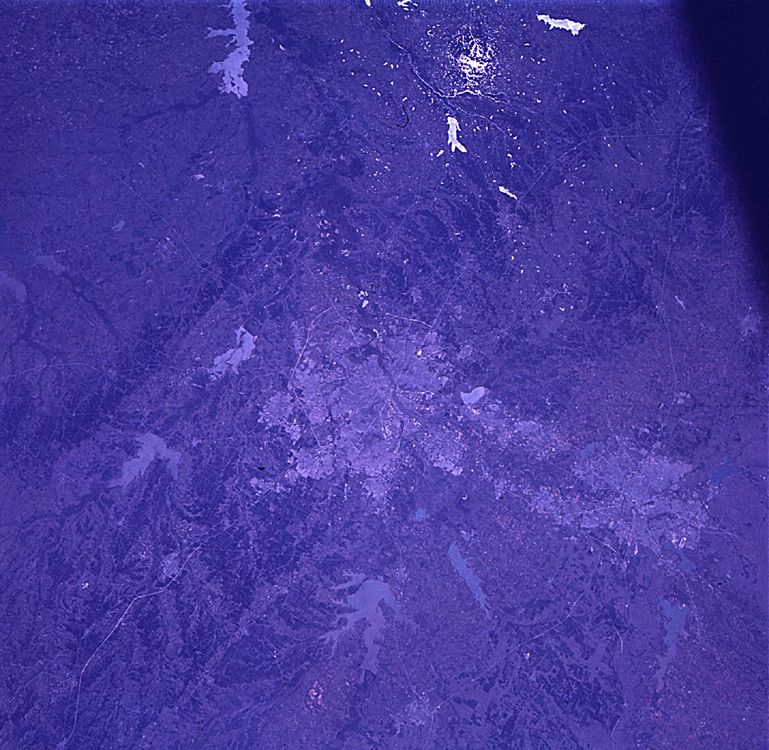
Image Caption: GEOGRAPHY/CARTOGRAPHY: UNITED STATES, TEXAS, DALLAS-FORT WORTH, TRINITY RIVER.
GEOLOGY/HYDROLOGY: CENTRAL SEDIMENTARY PLAINS AND ROLLING TERRAIN..
AGRICULTURE: SCATTERED FIELD PATTERNS, RANGE LANDS.
FORESTRY: SHRUBFORM CHANGING TO DENSE HARDWOOD FORESTS ALONG DRAINAGE RANGE GRASSES.
OCEANOGRAPHY:
Dallas-Fort Worth area as photographed from the Apollo 9 spacecraft during its earth-orbital mission. The superhighways leading out of the two cities are clearly visible. The largest body of water north of Dallas is the Garza-Little Elm Reservoir. Cedar Creek Reservoir is located to the southeast of Dallas. The City of Denton is near left center edge of picture at junction of two highways leading from Fort Worth and Dallas.
