AS07-7-1832

| NASA Photo ID | AS07-7-1832 |
| Focal Length | 80mm |
| Date taken | 1968.10.__ |
| Time taken | GMT |
Cloud masks available for this image:
Spacecraft nadir point:
Photo center point: 30.0° N, 69.0° E
Photo center point by machine learning:
Photo center point: 30.0° N, 69.0° E
Photo center point by machine learning:
Nadir to Photo Center:
Spacecraft Altitude: nautical miles (0km)
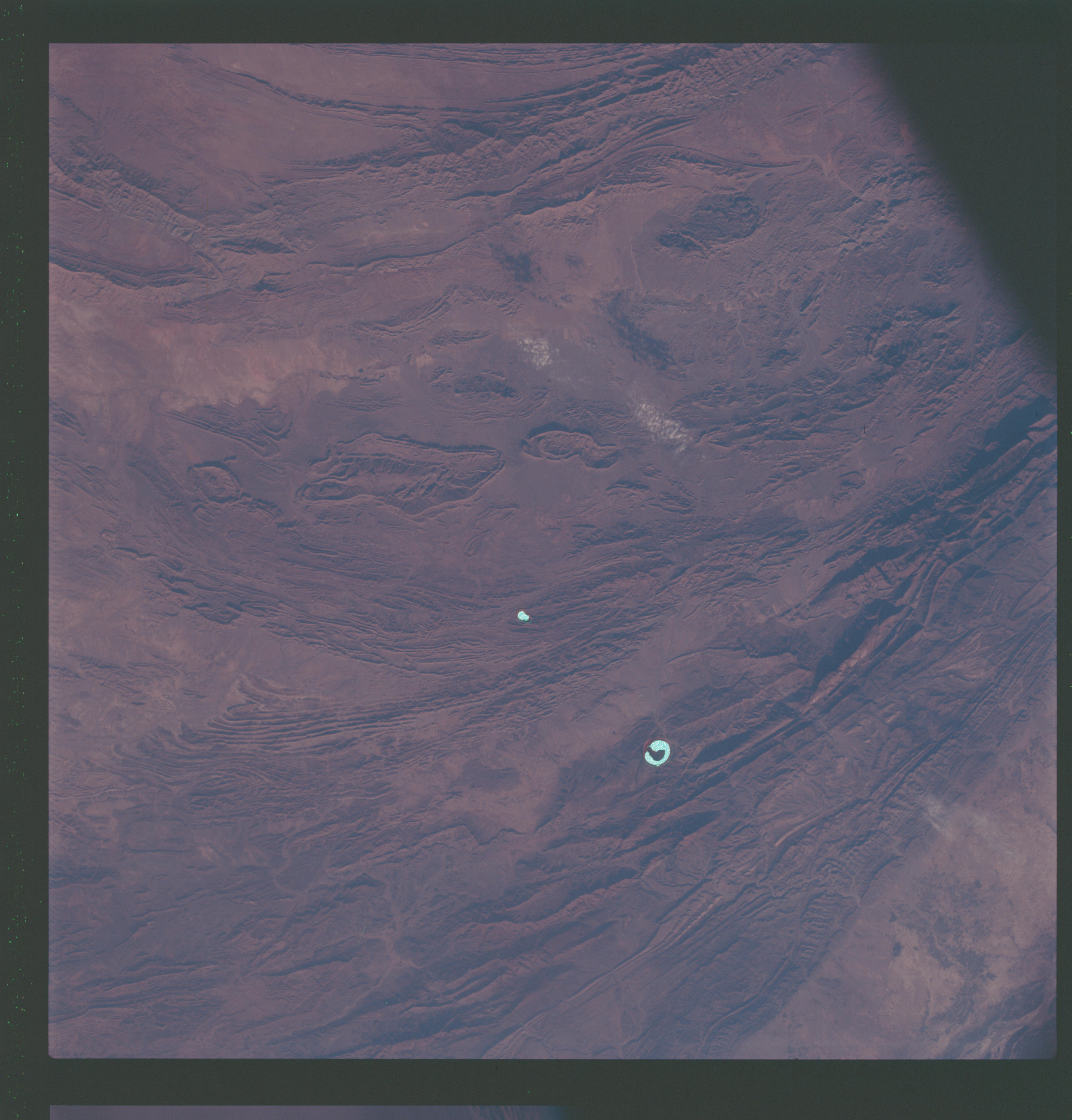
Country or Geographic Name: | PAKISTAN |
Features: | TOBA & KAKAR RANGES |
| Features Found Using Machine Learning: | |
Cloud Cover Percentage: | |
Sun Elevation Angle: | ° |
Sun Azimuth: | ° |
Camera: | Hasselblad |
Focal Length: | 80mm |
Camera Tilt: | Near Vertical |
Format: | SO121: Kodak Ektachrome 64 |
Film Exposure: | Under Exposed |
| Additional Information | |
| Width | Height | Annotated | Cropped | Purpose | Links |
|---|---|---|---|---|---|
| 4400 pixels | 4600 pixels | No | No | Download Image | |
| 492 pixels | 515 pixels | No | No | Download Image |
Download Packaged File
Download a Google Earth KML for this Image
View photo footprint information
Download a GeoTIFF for this photo
Image Caption: Toba, Kakar, Fort Sandeman, Sulaiman Range area in west Pakistan as seen from the Apollo 7 spacecraft during its 84th revolution of the earth. Note geological features such as folded mountain structures, anticlines and synclines. Photographed from an altitude of 108 nautical miles, at ground elapsed time of 132 hours and 30 minutes.
