< STS51F-37-91 >
| NASA Photo ID | STS51F-37-91 |
| Focal Length | 250mm |
| Date taken | 1985.08.06 |
| Time taken | 00:04:17 GMT |
Resolutions offered for this image:
5700 x 5900 pixels 4200 x 4226 pixels 500 x 518 pixels 640 x 480 pixels
5700 x 5900 pixels 4200 x 4226 pixels 500 x 518 pixels 640 x 480 pixels

Cloud masks available for this image:
Spacecraft nadir point: 48.9° N, 121.5° W
Photo center point: 46.5° N, 124.0° W
Photo center point by machine learning:
Photo center point: 46.5° N, 124.0° W
Photo center point by machine learning:
Nadir to Photo Center: Southwest
Spacecraft Altitude: 178 nautical miles (330km)
Country or Geographic Name: | USA-WASHINGTON |
Features: | COLUMBIA RIVER |
| Features Found Using Machine Learning: | |
Cloud Cover Percentage: | 10 (1-10)% |
Sun Elevation Angle: | 33° |
Sun Azimuth: | 256° |
Camera: | Hasselblad |
Focal Length: | 250mm |
Camera Tilt: | 49 degrees |
Format: | 5017: Kodak, natural color positive, Ektachrome, X Professional, ASA 64, standard base |
Film Exposure: | Normal |
| Additional Information | |
| Width | Height | Annotated | Cropped | Purpose | Links |
|---|---|---|---|---|---|
| 5700 pixels | 5900 pixels | No | No | Download Image | |
| 4200 pixels | 4226 pixels | No | No | Download Image | |
| 500 pixels | 518 pixels | No | No | Download Image | |
| 640 pixels | 480 pixels | No | No | Download Image |
Download Packaged File
Download a Google Earth KML for this Image
View photo footprint information
No GeoTIFF is available for this photo.Image Caption:
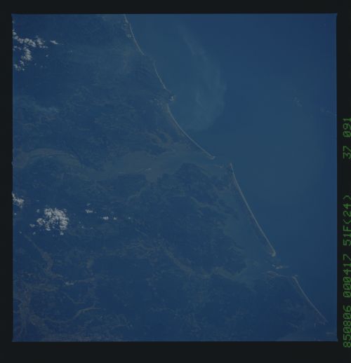
Columbia River/Coastal Ranges
A south-looking view shows the mouth of the Columbia River as the
river cuts its way through the hills of the Coastal Range to the
Pacific Ocean. Though the Coastal Ranges are heavily forested,
scattered forest clearings can be observed in both Oregon and
Washington state side of the Columbia River.
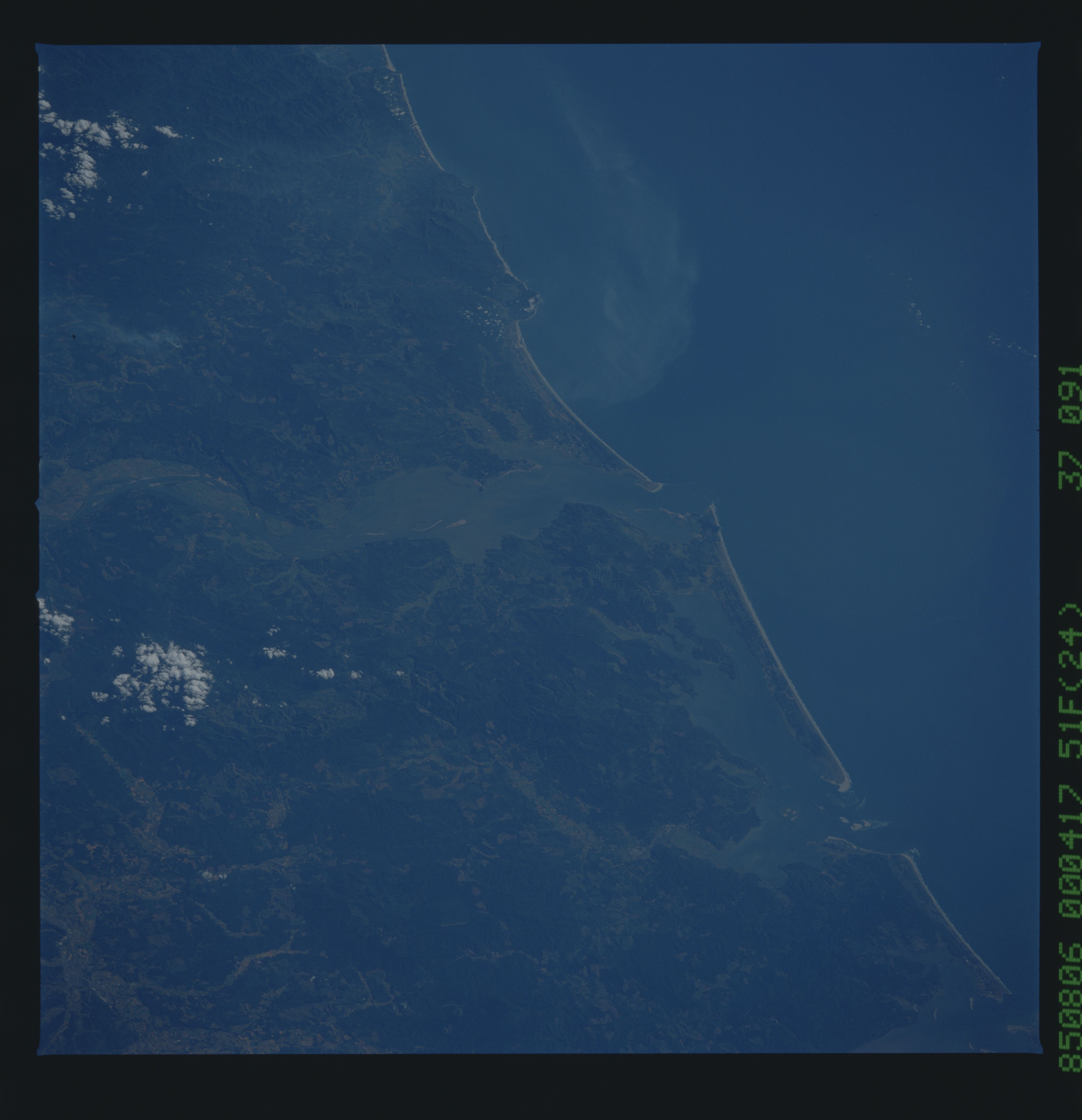
