< STS068-258-80 >
| NASA Photo ID | STS068-258-80 |
| Focal Length | 250mm |
| Date taken | 1994.10.10 |
| Time taken | 04:18:23 GMT |
Resolutions offered for this image:
3936 x 3901 pixels 639 x 634 pixels 5700 x 5900 pixels 500 x 518 pixels 640 x 480 pixels
3936 x 3901 pixels 639 x 634 pixels 5700 x 5900 pixels 500 x 518 pixels 640 x 480 pixels

Cloud masks available for this image:
Spacecraft nadir point: 32.4° S, 152.4° E
Photo center point: 34.0° S, 151.0° E
Photo center point by machine learning:
Photo center point: 34.0° S, 151.0° E
Photo center point by machine learning:
Nadir to Photo Center: Southwest
Spacecraft Altitude: 111 nautical miles (206km)
Country or Geographic Name: | AUSTRALIA-NSW |
Features: | SYDNEY |
| Features Found Using Machine Learning: | |
Cloud Cover Percentage: | 0 (no clouds present) |
Sun Elevation Angle: | 45° |
Sun Azimuth: | 296° |
Camera: | Hasselblad |
Focal Length: | 250mm |
Camera Tilt: | 49 degrees |
Format: | 5046: Kodak, natural color positive, Lumiere 100/5046, ASA 100, standard base |
Film Exposure: | Normal |
| Additional Information | |
| Width | Height | Annotated | Cropped | Purpose | Links |
|---|---|---|---|---|---|
| 3936 pixels | 3901 pixels | No | No | Earth From Space collection | Download Image |
| 639 pixels | 634 pixels | No | No | Earth From Space collection | Download Image |
| 5700 pixels | 5900 pixels | No | No | Download Image Download Color Calibration Image for this Image |
|
| 500 pixels | 518 pixels | No | No | Download Image Download Color Calibration Image for this Image |
|
| 640 pixels | 480 pixels | No | No | Download Image |
Download Packaged File
Download a Google Earth KML for this Image
View photo footprint information
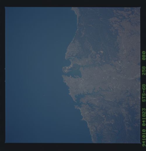
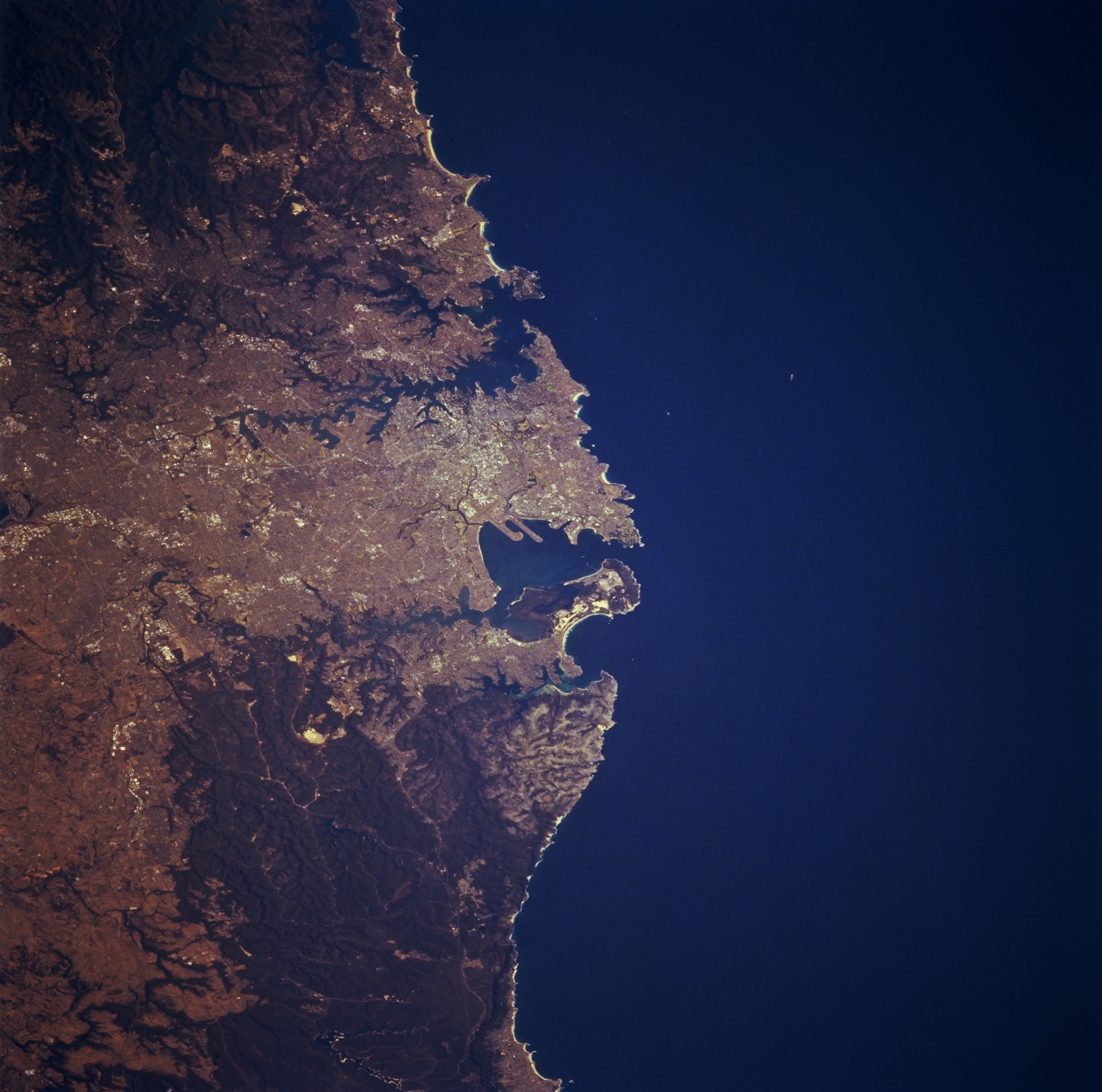
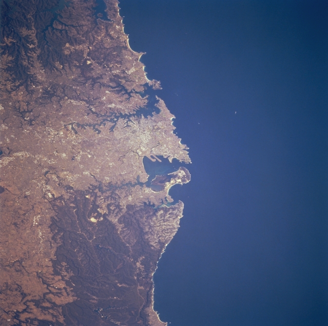
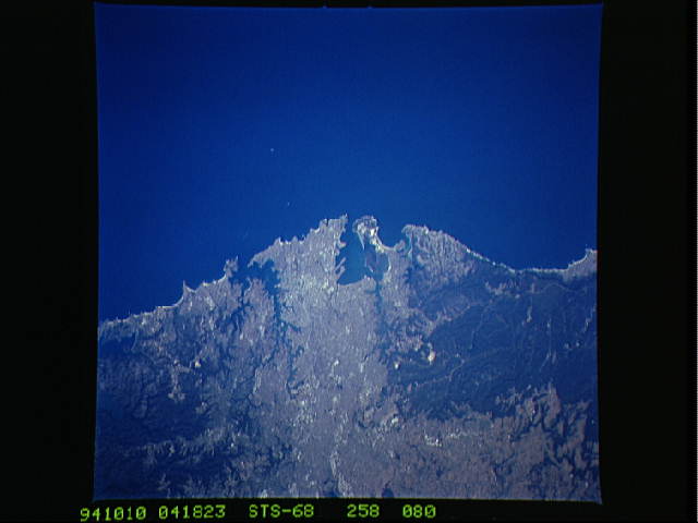
No GeoTIFF is available for this photo.Image Caption: STS068-258-080 Sydney Area, New South Wales, Australia October 1994
The urban area of Australia's largest city, Sydney (population over 3 million), can be identified in the center of the image. Although the scale of the image precludes the identification of almost all of the specific infrastructure features, the two linear features that jut southward into Botany Bay are runways of Sydney International Airport. The irregular shaped water body (darker feature slightly above center) is Sydney Harbor. The two other sizable bays south of this harbor are Botany Bay (largest) and Bate Bay. The water features along the top (left) of the image are part of the Hawksbury River drainage system. The darker terrain shows areas of forested lands. Heathcote and Royal National Parks occupy most of the terrain south of the city.
The urban area of Australia's largest city, Sydney (population over 3 million), can be identified in the center of the image. Although the scale of the image precludes the identification of almost all of the specific infrastructure features, the two linear features that jut southward into Botany Bay are runways of Sydney International Airport. The irregular shaped water body (darker feature slightly above center) is Sydney Harbor. The two other sizable bays south of this harbor are Botany Bay (largest) and Bate Bay. The water features along the top (left) of the image are part of the Hawksbury River drainage system. The darker terrain shows areas of forested lands. Heathcote and Royal National Parks occupy most of the terrain south of the city.
