< STS078-734-8 >
| NASA Photo ID | STS078-734-8 |
| Focal Length | 250mm |
| Date taken | 1996.06.25 |
| Time taken | 14:42:26 GMT |

Cloud masks available for this image:
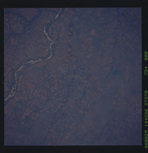
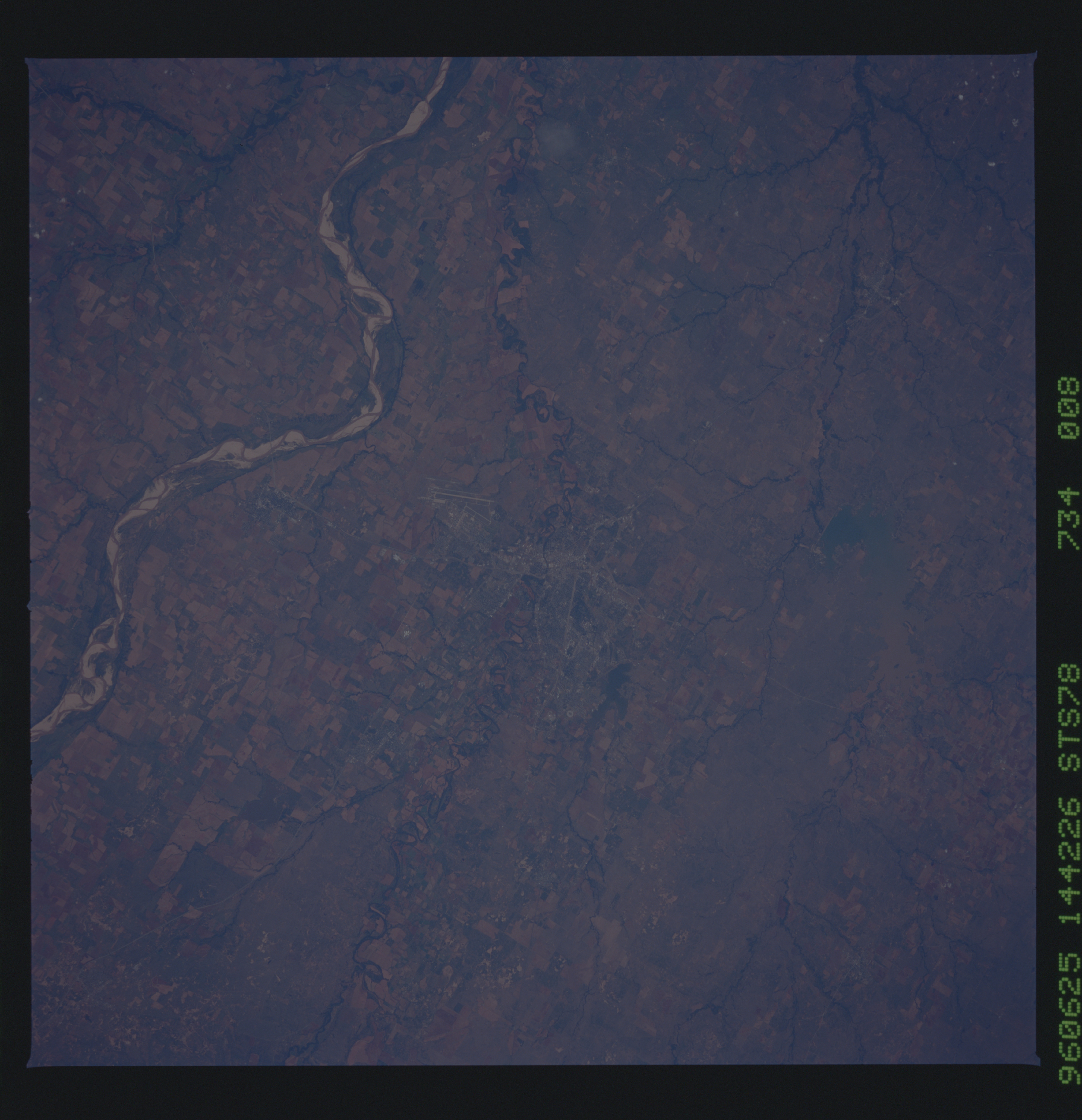
Spacecraft nadir point: 35.0° N, 98.9° W
Photo center point: 34.0° N, 98.5° W
Photo center point by machine learning:
Photo center point: 34.0° N, 98.5° W
Photo center point by machine learning:
Nadir to Photo Center: South
Spacecraft Altitude: 144 nautical miles (267km)
Country or Geographic Name: | USA-TEXAS |
Features: | WICHITA FALLS, RED R., AGR |
| Features Found Using Machine Learning: | |
Cloud Cover Percentage: | 0 (no clouds present) |
Sun Elevation Angle: | 38° |
Sun Azimuth: | 86° |
Camera: | Hasselblad |
Focal Length: | 250mm |
Camera Tilt: | 24 degrees |
Format: | 5046: Kodak, natural color positive, Lumiere 100/5046, ASA 100, standard base |
Film Exposure: | Normal |
| Additional Information | |
| Width | Height | Annotated | Cropped | Purpose | Links |
|---|---|---|---|---|---|
| 5700 pixels | 5900 pixels | No | No | Download Image Download Color Calibration Image for this Image |
|
| 483 pixels | 500 pixels | No | No | Download Image Download Color Calibration Image for this Image |
|
| 3404 pixels | 3364 pixels | Download Image |
Download Packaged File
Download a Google Earth KML for this Image
View photo footprint information
No GeoTIFF is available for this photo.Image Caption: Wichita Falls, TX, on the Wichita River in the Red
River Valley, 115 miles northwest of Fort Worth. Pop. 97,000.
River Valley, 115 miles northwest of Fort Worth. Pop. 97,000.
