< STS078-736-74 >

| NASA Photo ID | STS078-736-74 |
| Focal Length | 250mm |
| Date taken | 1996.06.26 |
| Time taken | 17:52:02 GMT |
Resolutions offered for this image:
4072 x 4072 pixels 639 x 639 pixels 5700 x 5900 pixels 483 x 500 pixels 647 x 614 pixels 479 x 479 pixels
4072 x 4072 pixels 639 x 639 pixels 5700 x 5900 pixels 483 x 500 pixels 647 x 614 pixels 479 x 479 pixels


Cloud masks available for this image:
Spacecraft nadir point: 33.1° N, 87.4° W
Photo center point: 35.0° N, 88.5° W
Photo center point by machine learning:
Photo center point: 35.0° N, 88.5° W
Photo center point by machine learning:
Nadir to Photo Center: Northwest
Spacecraft Altitude: 145 nautical miles (269km)
Country or Geographic Name: | USA-MISSISSIPPI |
Features: | CORINTH, WHEELER L., AGR. |
| Features Found Using Machine Learning: | |
Cloud Cover Percentage: | 0 (no clouds present) |
Sun Elevation Angle: | 80° |
Sun Azimuth: | 180° |
Camera: | Hasselblad |
Focal Length: | 250mm |
Camera Tilt: | 42 degrees |
Format: | 5046: Kodak, natural color positive, Lumiere 100/5046, ASA 100, standard base |
Film Exposure: | Normal |
| Additional Information | |
| Width | Height | Annotated | Cropped | Purpose | Links |
|---|---|---|---|---|---|
| 4072 pixels | 4072 pixels | No | No | Earth From Space collection | Download Image |
| 639 pixels | 639 pixels | No | No | Earth From Space collection | Download Image |
| 5700 pixels | 5900 pixels | No | No | Download Image Download Color Calibration Image for this Image |
|
| 483 pixels | 500 pixels | No | No | Download Image Download Color Calibration Image for this Image |
|
| 647 pixels | 614 pixels | No | No | Download Image | |
| 479 pixels | 479 pixels | Download Image |
Download Packaged File
Download a Google Earth KML for this Image
View photo footprint information
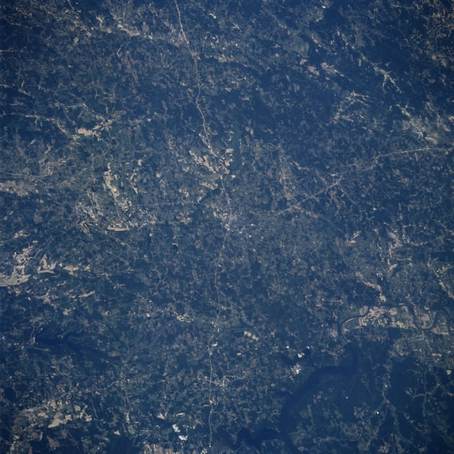
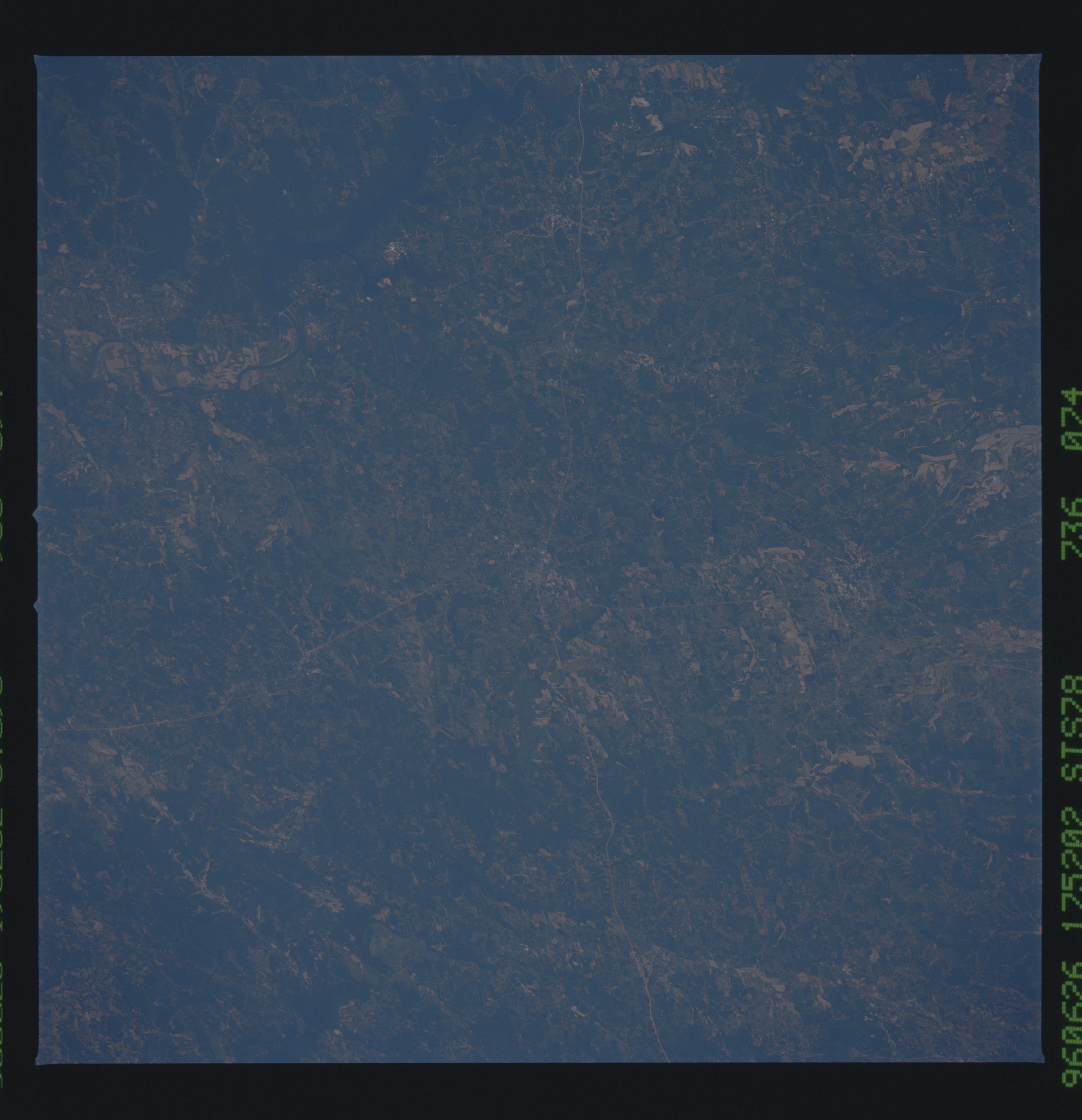
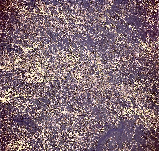
No GeoTIFF is available for this photo.Image Caption: STS078-736-074 Pickwick Lake, Corinth, Mississippi June 1996
The rolling terrain of northeastern Mississippi, with its scattered agricultural fields, can be seen in this west-looking low-oblique view. The small city of Corinth is discernible at the center of the image. Highway 45 traverses north-south through the city, and highway 72 traverses east-west through the city. Corinth is a trade and processing center for lumbering, livestock, and grain industries of the area. During the American Civil War, Corinth was a strategic railroad center. Near the bottom left of the image, Bay Springs Lake is visible. Near the bottom right of the image, the Tennessee River and Pickwick Lake are discernible.
The rolling terrain of northeastern Mississippi, with its scattered agricultural fields, can be seen in this west-looking low-oblique view. The small city of Corinth is discernible at the center of the image. Highway 45 traverses north-south through the city, and highway 72 traverses east-west through the city. Corinth is a trade and processing center for lumbering, livestock, and grain industries of the area. During the American Civil War, Corinth was a strategic railroad center. Near the bottom left of the image, Bay Springs Lake is visible. Near the bottom right of the image, the Tennessee River and Pickwick Lake are discernible.
