< STS064-212-66 >
| NASA Photo ID | STS064-212-66 |
| Focal Length | 100mm |
| Date taken | 1994.09.__ |
| Time taken | GMT |
Resolutions offered for this image:
3904 x 3936 pixels 634 x 639 pixels 5700 x 5900 pixels 500 x 518 pixels 640 x 480 pixels
3904 x 3936 pixels 634 x 639 pixels 5700 x 5900 pixels 500 x 518 pixels 640 x 480 pixels

Cloud masks available for this image:
Spacecraft nadir point:
Photo center point: 35.0° N, 118.0° W
Photo center point by machine learning:
Photo center point: 35.0° N, 118.0° W
Photo center point by machine learning:
Nadir to Photo Center:
Spacecraft Altitude: nautical miles (0km)
Country or Geographic Name: | USA-CALIFORNIA |
Features: | EDWARDS AFB, MOJAVE DES. |
| Features Found Using Machine Learning: | |
Cloud Cover Percentage: | 0 (no clouds present) |
Sun Elevation Angle: | ° |
Sun Azimuth: | ° |
Camera: | Hasselblad |
Focal Length: | 100mm |
Camera Tilt: | Low Oblique |
Format: | 5048: Kodak, natural color positive, Lumiere 100x/5048, ASA 100x, standard base |
Film Exposure: | Normal |
| Additional Information | |
| Width | Height | Annotated | Cropped | Purpose | Links |
|---|---|---|---|---|---|
| 3904 pixels | 3936 pixels | No | No | Earth From Space collection | Download Image |
| 634 pixels | 639 pixels | No | No | Earth From Space collection | Download Image |
| 5700 pixels | 5900 pixels | No | No | Download Image Download Color Calibration Image for this Image |
|
| 500 pixels | 518 pixels | No | No | Download Image Download Color Calibration Image for this Image |
|
| 640 pixels | 480 pixels | No | No | Download Image |
Download Packaged File
Download a Google Earth KML for this Image
View photo footprint information
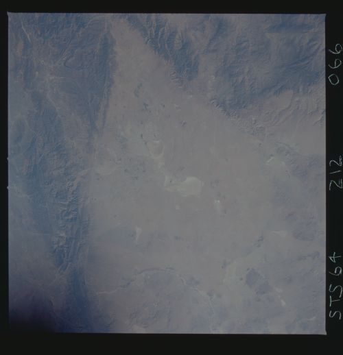
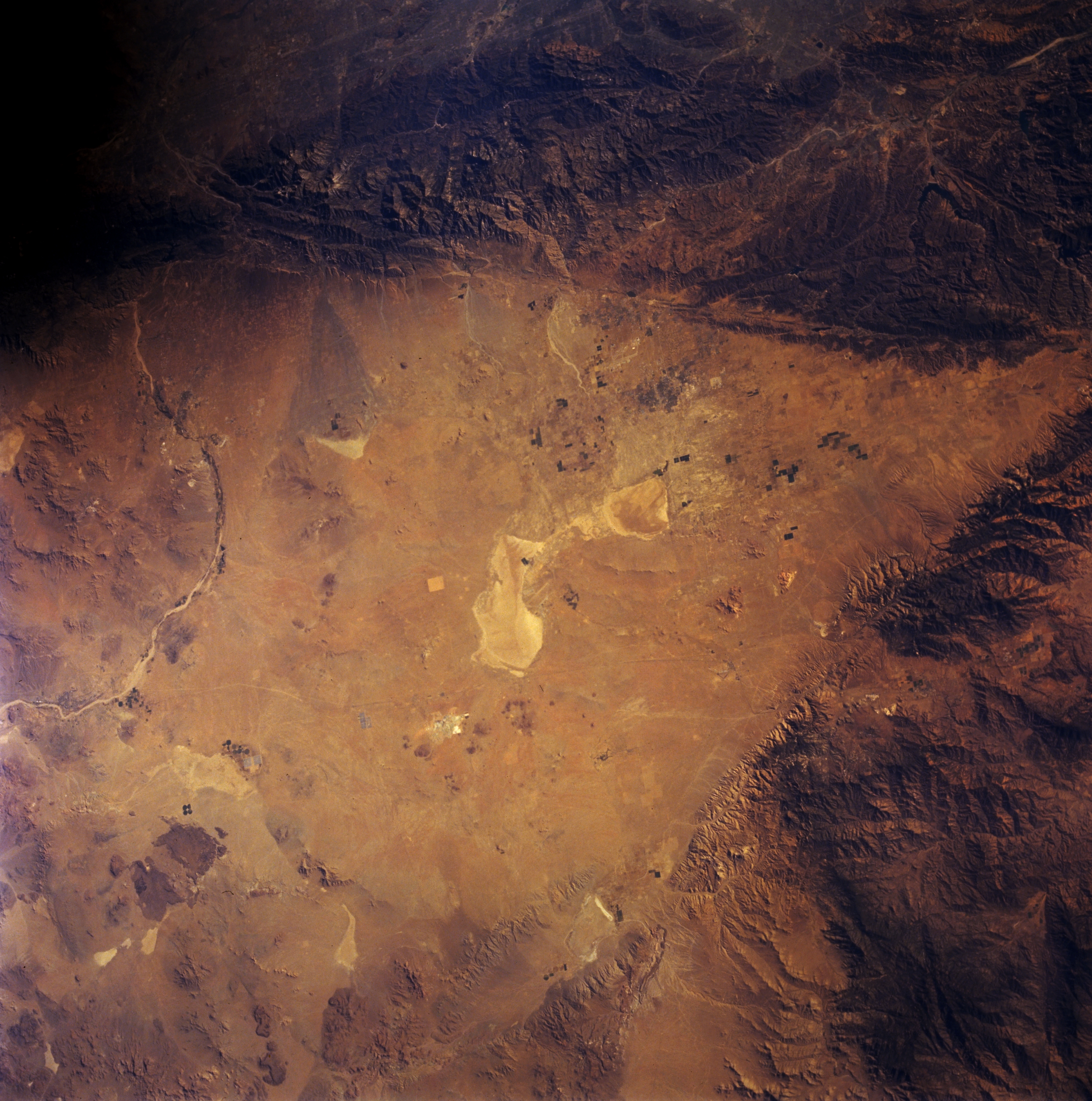
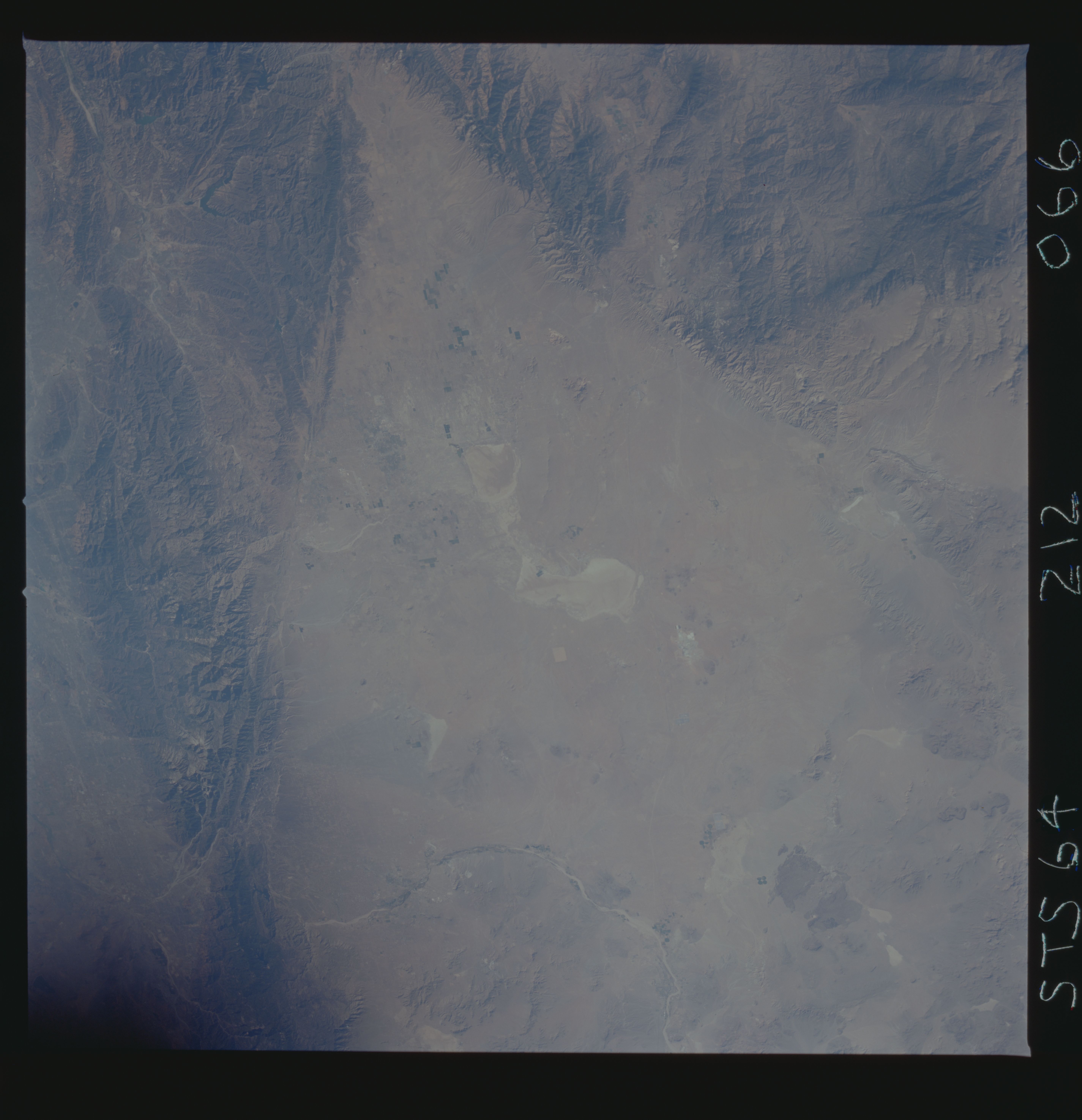
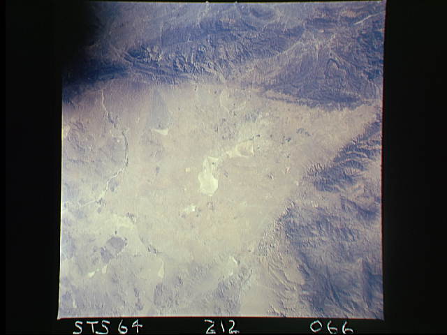
No GeoTIFF is available for this photo.Image Caption: STS064-212-066 Mojave Desert, California, U.S.A. September 1994
The V-shaped west end of the Mojave Desert and highly reflective Rogers Dry Lake are captured in this synoptic photograph. Rogers Dry Lake, situated within Edwards Air Force Base, is an alternate landing site for NASA Space Shuttles. The northwest-southeast-trending San Andreas Fault and the northeast-southwest-trending Garlock Fault intersect at the western apex of the desert. Sediment transported from the San Gabriel Mountains and deposited along the southern Mojave Desert is highlighted by the subtle colors of the alluvial fans. Evident is the gentle curve of the intermittently flowing Mojave River.
The V-shaped west end of the Mojave Desert and highly reflective Rogers Dry Lake are captured in this synoptic photograph. Rogers Dry Lake, situated within Edwards Air Force Base, is an alternate landing site for NASA Space Shuttles. The northwest-southeast-trending San Andreas Fault and the northeast-southwest-trending Garlock Fault intersect at the western apex of the desert. Sediment transported from the San Gabriel Mountains and deposited along the southern Mojave Desert is highlighted by the subtle colors of the alluvial fans. Evident is the gentle curve of the intermittently flowing Mojave River.
