< STS073-741-60 >
| NASA Photo ID | STS073-741-60 |
| Focal Length | 250mm |
| Date taken | 1995.10.24 |
| Time taken | 13:52:49 GMT |
Resolutions offered for this image:
3936 x 3904 pixels 639 x 634 pixels 5700 x 5900 pixels 500 x 518 pixels 640 x 480 pixels
3936 x 3904 pixels 639 x 634 pixels 5700 x 5900 pixels 500 x 518 pixels 640 x 480 pixels


Cloud masks available for this image:
Spacecraft nadir point: 38.3° N, 76.2° W
Photo center point: 38.5° N, 77.0° W
Photo center point by machine learning:
Photo center point: 38.5° N, 77.0° W
Photo center point by machine learning:
Nadir to Photo Center: West
Spacecraft Altitude: 144 nautical miles (267km)
Country or Geographic Name: | USA-MARYLAND |
Features: | POTOMAC RIVER, DC AREA |
| Features Found Using Machine Learning: | |
Cloud Cover Percentage: | 0 (no clouds present) |
Sun Elevation Angle: | 25° |
Sun Azimuth: | 131° |
Camera: | Hasselblad |
Focal Length: | 250mm |
Camera Tilt: | 19 degrees |
Format: | 2443: Kodak Aerochrome 2443, color IR, thin base, EA-5 process thru June 1999, E-6 process afterward |
Film Exposure: | Normal |
| Additional Information | |
| Width | Height | Annotated | Cropped | Purpose | Links |
|---|---|---|---|---|---|
| 3936 pixels | 3904 pixels | No | No | Earth From Space collection | Download Image |
| 639 pixels | 634 pixels | No | No | Earth From Space collection | Download Image |
| 5700 pixels | 5900 pixels | No | No | Download Image | |
| 500 pixels | 518 pixels | No | No | Download Image | |
| 640 pixels | 480 pixels | No | No | Download Image |
Download Packaged File
Download a Google Earth KML for this Image
View photo footprint information
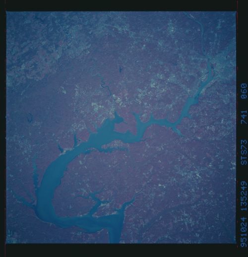
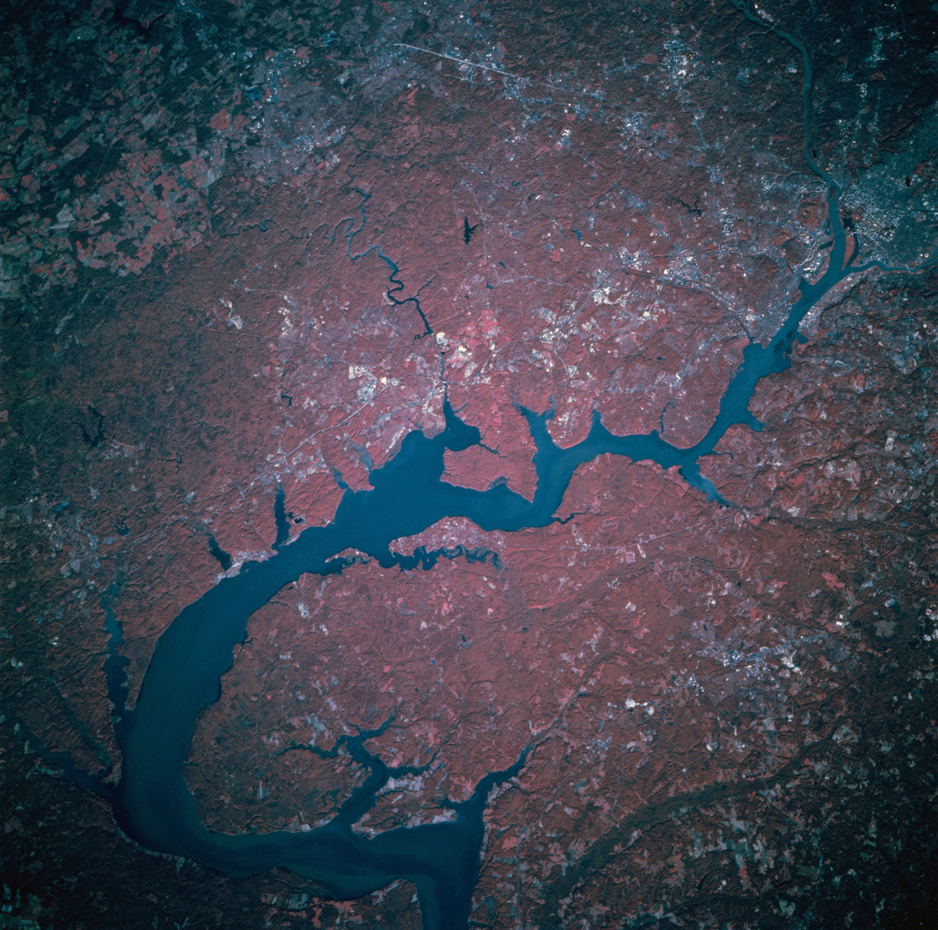
No GeoTIFF is available for this photo.Image Caption: STS073-741-060 The Potomac River, Maryland/Virginia, U.S.A. October 1995
Flanked by the state of Virginia to the west (top of image), and the state of Maryland to the east (bottom of image), the Potomac River can be seen in this northwest-looking low-oblique color-infrared view. The terrain in this region is gently rolling, with forest cover (deep red on the infrared view) and patches of cleared or pasture land (paler shades of red). The headwaters of the Potomac are near Cumberland, Maryland, and the stream flows generally southeast for 285 miles (459 km). The river has cut several gaps across the parallel ridges of the Appalachian Mountains. The river enters the scene near Great Falls (upper right), passes through the Washington, D.C., area, and enters the tidal estuary south of the city as it flows toward Chesapeake Bay.
Flanked by the state of Virginia to the west (top of image), and the state of Maryland to the east (bottom of image), the Potomac River can be seen in this northwest-looking low-oblique color-infrared view. The terrain in this region is gently rolling, with forest cover (deep red on the infrared view) and patches of cleared or pasture land (paler shades of red). The headwaters of the Potomac are near Cumberland, Maryland, and the stream flows generally southeast for 285 miles (459 km). The river has cut several gaps across the parallel ridges of the Appalachian Mountains. The river enters the scene near Great Falls (upper right), passes through the Washington, D.C., area, and enters the tidal estuary south of the city as it flows toward Chesapeake Bay.
