< STS073-711-45 >
| NASA Photo ID | STS073-711-45 |
| Focal Length | 250mm |
| Date taken | 1995.10.26 |
| Time taken | 18:22:32 GMT |
Resolutions offered for this image:
3872 x 3904 pixels 634 x 639 pixels 5700 x 5900 pixels 500 x 518 pixels 640 x 480 pixels
3872 x 3904 pixels 634 x 639 pixels 5700 x 5900 pixels 500 x 518 pixels 640 x 480 pixels


Cloud masks available for this image:
Spacecraft nadir point: 35.8° N, 118.5° W
Photo center point: 36.5° N, 120.0° W
Photo center point by machine learning:
Photo center point: 36.5° N, 120.0° W
Photo center point by machine learning:
Nadir to Photo Center: West
Spacecraft Altitude: 144 nautical miles (267km)
Camera: | Hasselblad |
Focal Length: | 250mm |
Camera Tilt: | 35 degrees |
Format: | 5046: Kodak, natural color positive, Lumiere 100/5046, ASA 100, standard base |
Film Exposure: | Normal |
| Additional Information | |
| Width | Height | Annotated | Cropped | Purpose | Links |
|---|---|---|---|---|---|
| 3872 pixels | 3904 pixels | No | No | Earth From Space collection | Download Image |
| 634 pixels | 639 pixels | No | No | Earth From Space collection | Download Image |
| 5700 pixels | 5900 pixels | No | No | Download Image Download Color Calibration Image for this Image |
|
| 500 pixels | 518 pixels | No | No | Download Image Download Color Calibration Image for this Image |
|
| 640 pixels | 480 pixels | No | No | Download Image |
Download Packaged File
Download a Google Earth KML for this Image
View photo footprint information
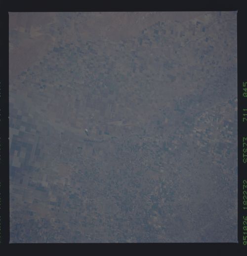
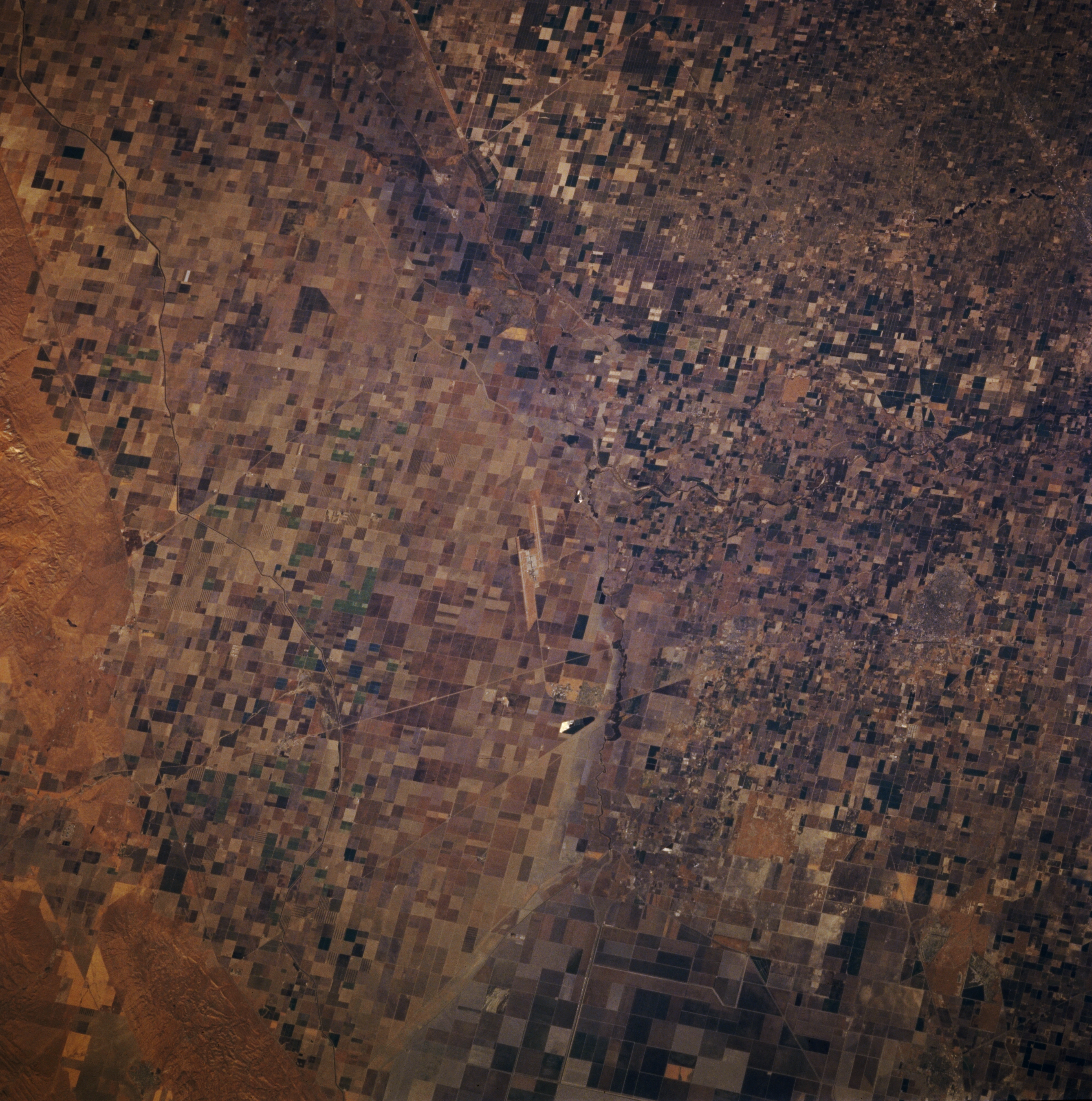
No GeoTIFF is available for this photo.Image Caption: STS073-711-045 Hanford, California, U.S.A. October 1995
Extensive irrigated agricultural patterns are apparent in this part of the San Joaquin Valley extending westward from Hanford to Interstate Highway 5. The variation in field sizes signifies a variety of crops in the region. Visible are two parallel, offset runways (northwest-southeast alignment) of Lemoore Naval Air Station and thin linear features that are highways, railroad rights-of-way, and major irrigation canals. Nonproductive, hilly terrain is discernible along the lower left edge of the picture. (Refer to STS-073-742-066 for a color infrared photograph of the same area.)
Extensive irrigated agricultural patterns are apparent in this part of the San Joaquin Valley extending westward from Hanford to Interstate Highway 5. The variation in field sizes signifies a variety of crops in the region. Visible are two parallel, offset runways (northwest-southeast alignment) of Lemoore Naval Air Station and thin linear features that are highways, railroad rights-of-way, and major irrigation canals. Nonproductive, hilly terrain is discernible along the lower left edge of the picture. (Refer to STS-073-742-066 for a color infrared photograph of the same area.)
