< STS087-722-28 >
| NASA Photo ID | STS087-722-28 |
| Focal Length | 100mm |
| Date taken | 1997.11.27 |
| Time taken | 07:44:32 GMT |
Resolutions offered for this image:
5700 x 5900 pixels 483 x 500 pixels 1350 x 1365 pixels 400 x 404 pixels
5700 x 5900 pixels 483 x 500 pixels 1350 x 1365 pixels 400 x 404 pixels

Cloud masks available for this image:
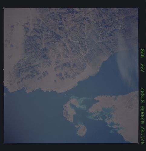
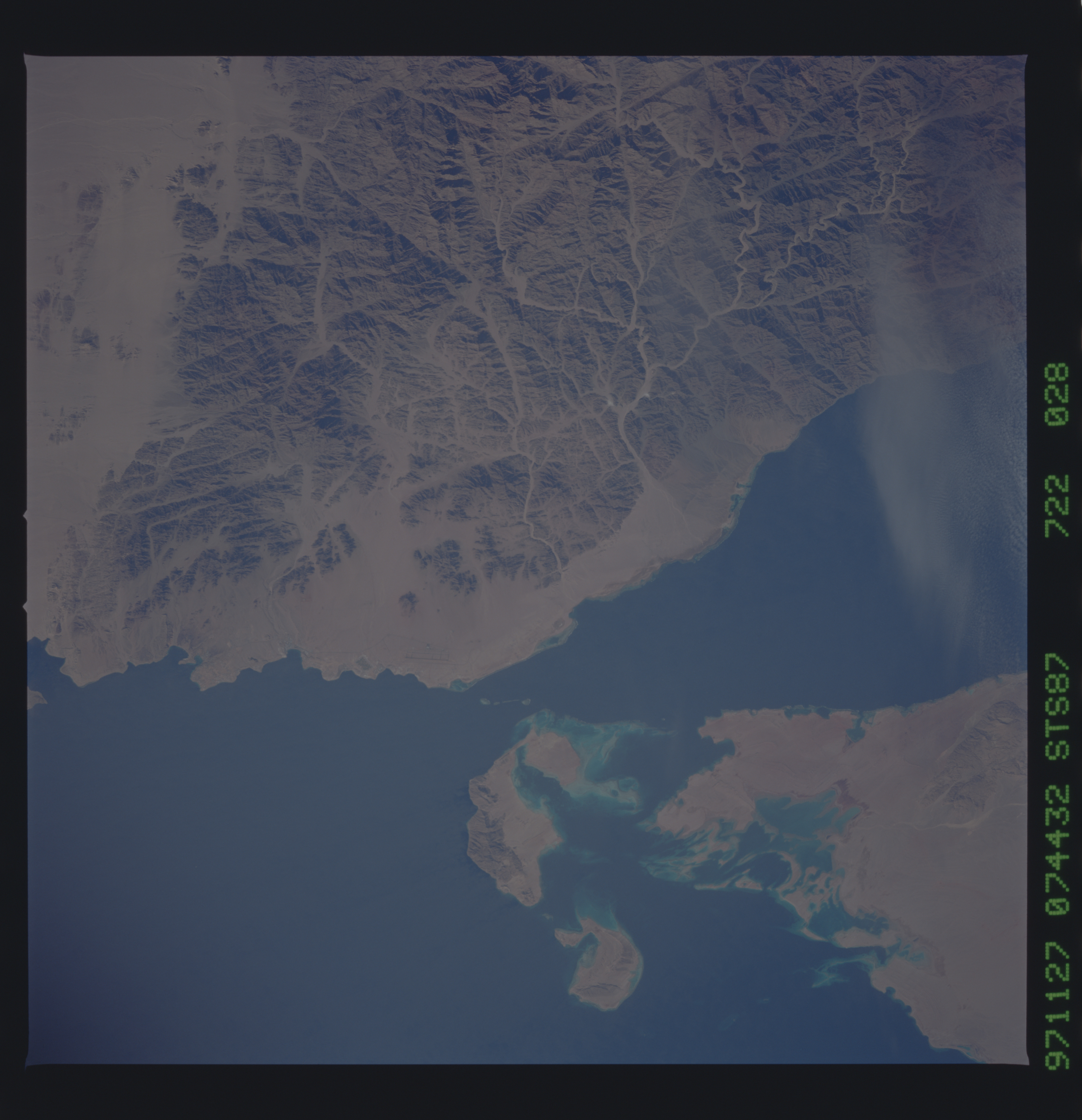
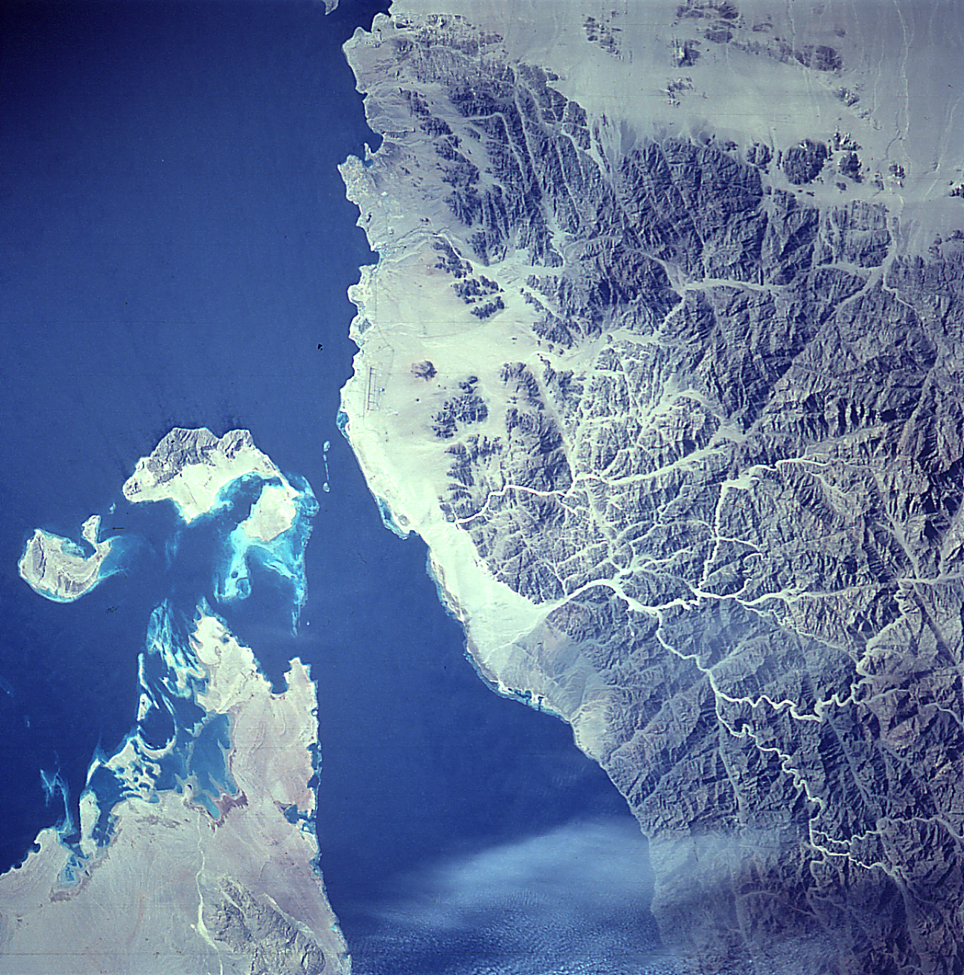
Spacecraft nadir point: 28.5° N, 32.0° E
Photo center point: 28.0° N, 34.5° E
Photo center point by machine learning:
Photo center point: 28.0° N, 34.5° E
Photo center point by machine learning:
Nadir to Photo Center: East
Spacecraft Altitude: 150 nautical miles (278km)
Country or Geographic Name: | EGYPT |
Features: | GULF OF AQABA |
| Features Found Using Machine Learning: | |
Cloud Cover Percentage: | 5 (1-10)% |
Sun Elevation Angle: | 33° |
Sun Azimuth: | 148° |
Camera: | Hasselblad |
Focal Length: | 100mm |
Camera Tilt: | 46 degrees |
Format: | 5069: Kodak Elite 100S, E6 Reversal, Replaces Lumiere, Warmer in tone vs. Lumiere |
Film Exposure: | Normal |
| Additional Information | |
| Width | Height | Annotated | Cropped | Purpose | Links |
|---|---|---|---|---|---|
| 5700 pixels | 5900 pixels | No | No | Download Image Download Color Calibration Image for this Image |
|
| 483 pixels | 500 pixels | No | No | Download Image Download Color Calibration Image for this Image |
|
| 1350 pixels | 1365 pixels | No | No | Photographic Highlights | Download Image |
| 400 pixels | 404 pixels | Photographic Highlights | Download Image |
Download Packaged File
Download a Google Earth KML for this Image
View photo footprint information
No GeoTIFF is available for this photo.Image Caption: Significant changes in coastal land-use through construction of resort areas and major roads are evident in
these two photographs (click here to see the other image).
These space photos can help scientists study change-over-time of coastal area development.
these two photographs (click here to see the other image).
These space photos can help scientists study change-over-time of coastal area development.
