< ISS056-E-195351 >
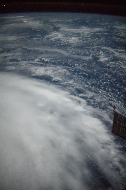
| NASA Photo ID | ISS056-E-195351 |
| Focal Length | 50mm |
| Date taken | 2018.09.26 |
| Time taken | 17:00:57 GMT |
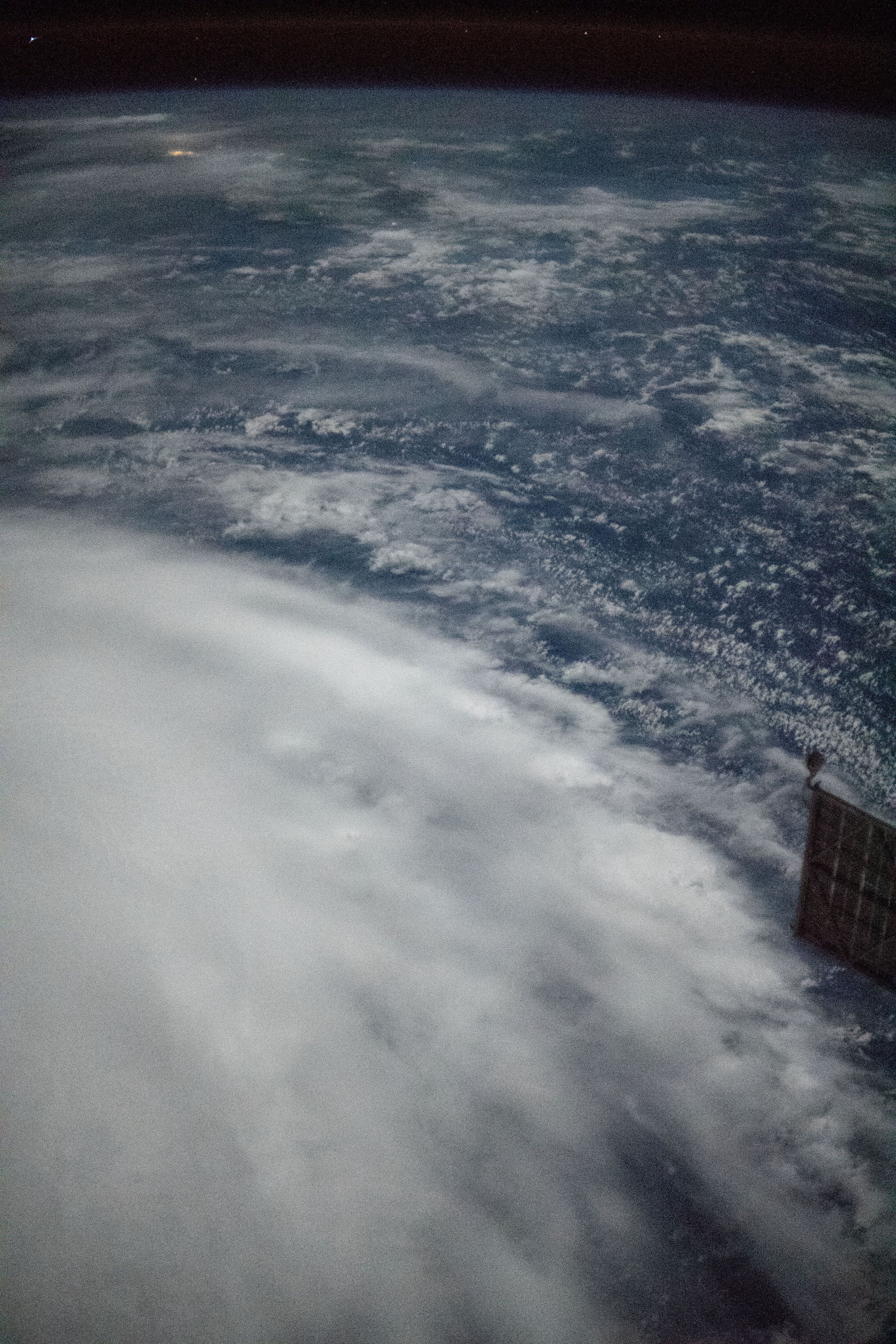


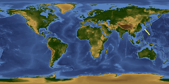
Spacecraft nadir point: 27.2° N, 128.2° E
Photo center point:
Photo center point by machine learning:
Photo center point:
Photo center point by machine learning:
Nadir to Photo Center:
Spacecraft Altitude: 217 nautical miles (402km)
Country or Geographic Name: | |
Features: | |
| Features Found Using Machine Learning: | |
Cloud Cover Percentage: | |
Sun Elevation Angle: | -54° |
Sun Azimuth: | 48° |
Camera: | NIKON D5 S/N: 3502333 |
Focal Length: | 50mm |
Camera Tilt: | |
Format: | |
Film Exposure: | |
| Additional Information | |
This photo is one of the photos used to create this time-lapse video:
| Width | Height | Annotated | Cropped | Purpose | Links |
|---|---|---|---|---|---|
| 3712 pixels | 5568 pixels | No | No | Download Image | |
| 427 pixels | 640 pixels | No | No | Download Image |
Download Packaged File
Download a Google Earth KML for this Image
View photo footprint information
No GeoTIFF is available for this photo.Image Caption: none
