< ISS059-E-18767 >

| NASA Photo ID | ISS059-E-18767 |
| Focal Length | 72mm |
| Date taken | 2019.04.09 |
| Time taken | 19:16:35 GMT |
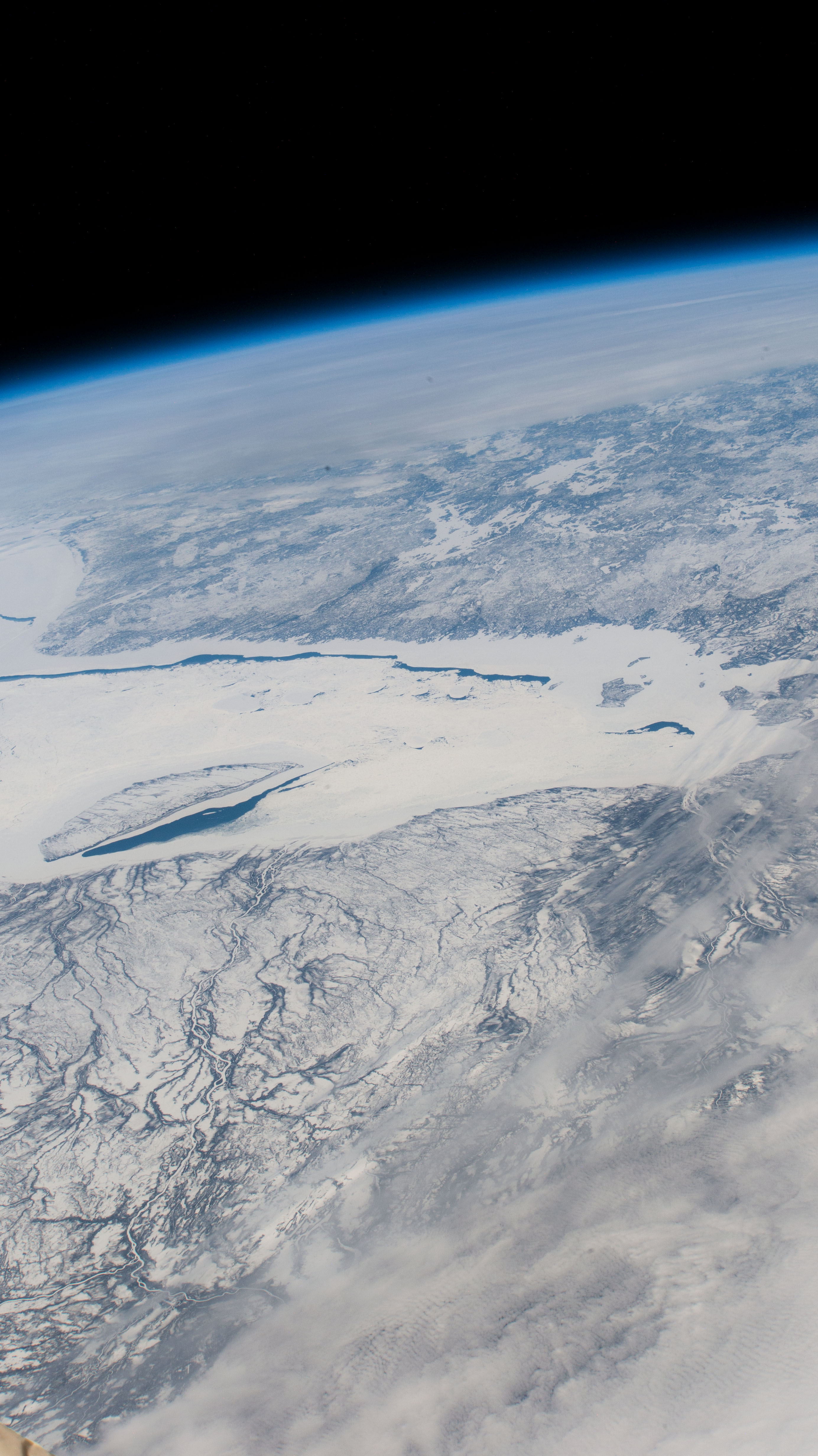

Spacecraft nadir point: 47.3° N, 87.3° W
Photo center point:
Photo center point by machine learning:
Photo center point:
Photo center point by machine learning:
Nadir to Photo Center:
Spacecraft Altitude: 218 nautical miles (404km)
Country or Geographic Name: | |
Features: | |
| Features Found Using Machine Learning: | |
Cloud Cover Percentage: | 27 (26-50)% |
Sun Elevation Angle: | 47° |
Sun Azimuth: | 212° |
Camera: | NIKON D4 S/N: 2071159 |
Focal Length: | 72mm |
Camera Tilt: | |
Format: | |
Film Exposure: | |
| Additional Information | Image acquired by ISS External High Definition Camera |
| Width | Height | Annotated | Cropped | Purpose | Links |
|---|---|---|---|---|---|
| 2768 pixels | 4928 pixels | No | No | Download Image | |
| 359 pixels | 640 pixels | No | No | Download Image |
Download Packaged File
Download a Google Earth KML for this Image
View photo footprint information
No GeoTIFF is available for this photo.Image Caption: none
