< STS082-706-16 >
| NASA Photo ID | STS082-706-16 |
| Focal Length | 100mm |
| Date taken | 1997.02.15 |
| Time taken | 06:07:25 GMT |
Cloud masks available for this image:
Spacecraft nadir point: 0.8° S, 40.3° E
Photo center point: 1.0° N, 37.5° E
Photo center point by machine learning:
Photo center point: 1.0° N, 37.5° E
Photo center point by machine learning:
Nadir to Photo Center: Northwest
Spacecraft Altitude: 318 nautical miles (589km)
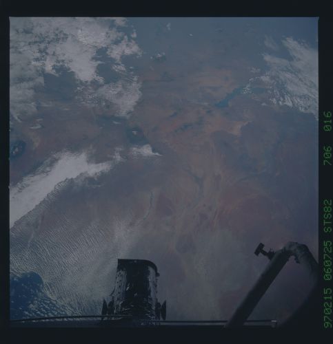
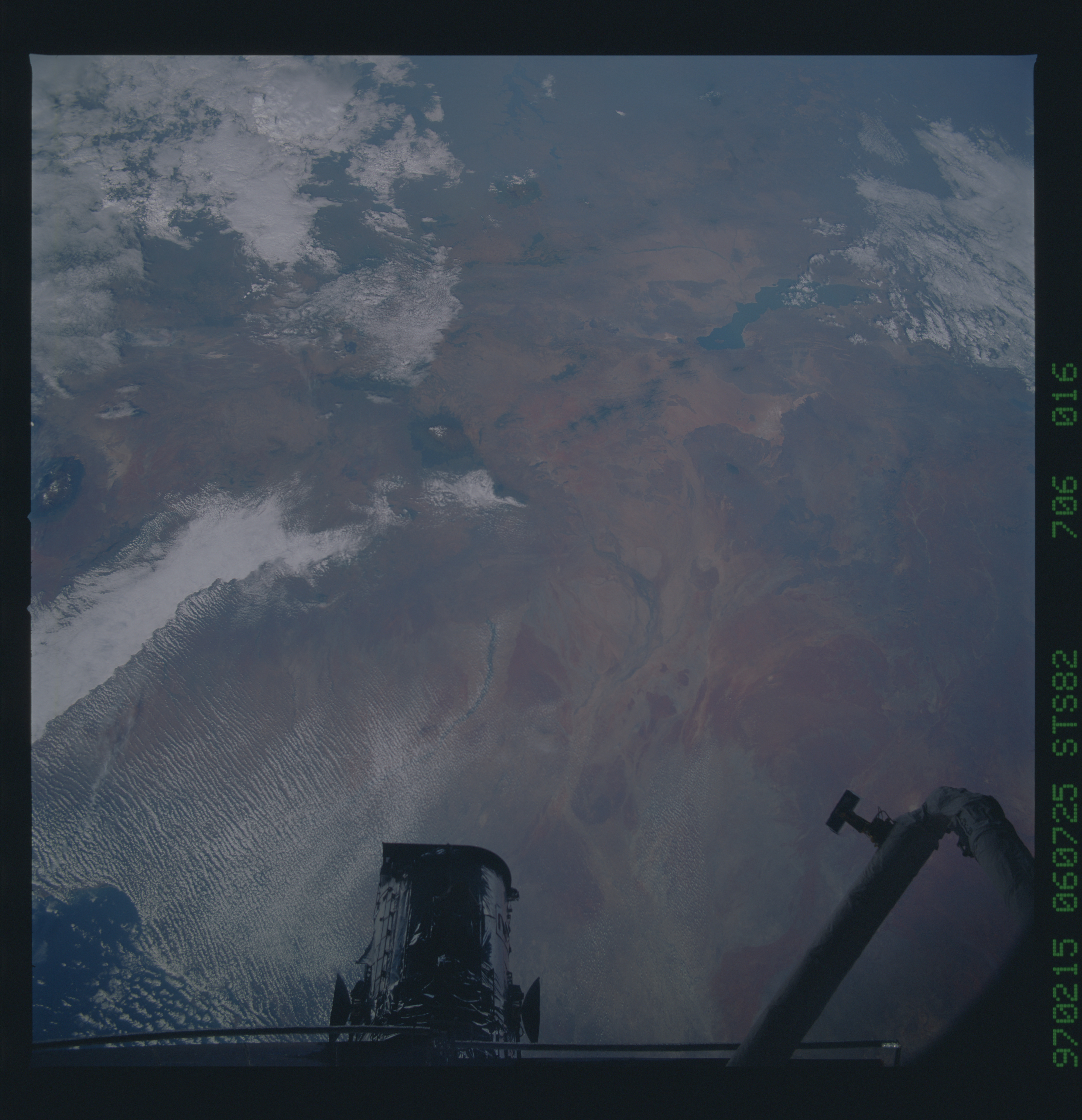
Country or Geographic Name: | KENYA |
Features: | MOUNT KENYA, MOUNT ELGON |
| Features Found Using Machine Learning: | |
Cloud Cover Percentage: | 40 (26-50)% |
Sun Elevation Angle: | 38° |
Sun Azimuth: | 105° |
Camera: | Hasselblad |
Focal Length: | 100mm |
Camera Tilt: | 32 degrees |
Format: | VELVI: Fuji, natural color positive, Velvia 50, CS 135-36, ASA 32, standard base |
Film Exposure: | Normal |
| Additional Information | |
| Width | Height | Annotated | Cropped | Purpose | Links |
|---|---|---|---|---|---|
| 5700 pixels | 5900 pixels | No | No | Download Image Download Color Calibration Image for this Image |
|
| 483 pixels | 500 pixels | No | No | Download Image Download Color Calibration Image for this Image |
Download Packaged File
Download a Google Earth KML for this Image
View photo footprint information
No GeoTIFF is available for this photo.Image Caption: Kenya, East Africa. Splendid northwesterly view showing Lake Turkana, Mt. Kenya (17,057 ft), and Mt. Kilimanjaro (19,340 ft) within the structural context of the Kenya branch of the East African rift. The great volcanoes have risen where the rift valleys change trend; the same is true of Mt. Elgon (14,778 ft) which is just off the left edge of this photo. Lake Natron is dimly visible to the northwest of Kilimanjaro.
