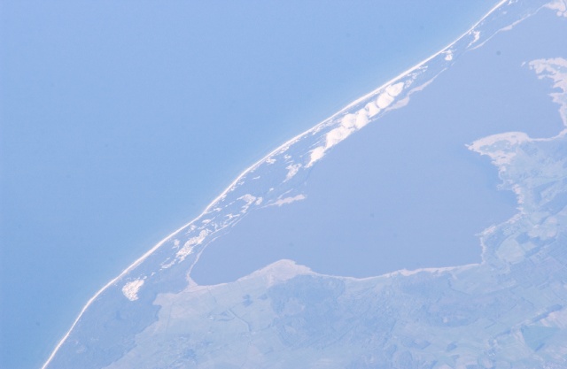
< ISS011-E-15684 >
| NASA Photo ID | ISS011-E-15684 |
| Focal Length | 800mm |
| Date taken | 2005.05.19 |
| Time taken | 17:02:58 GMT |
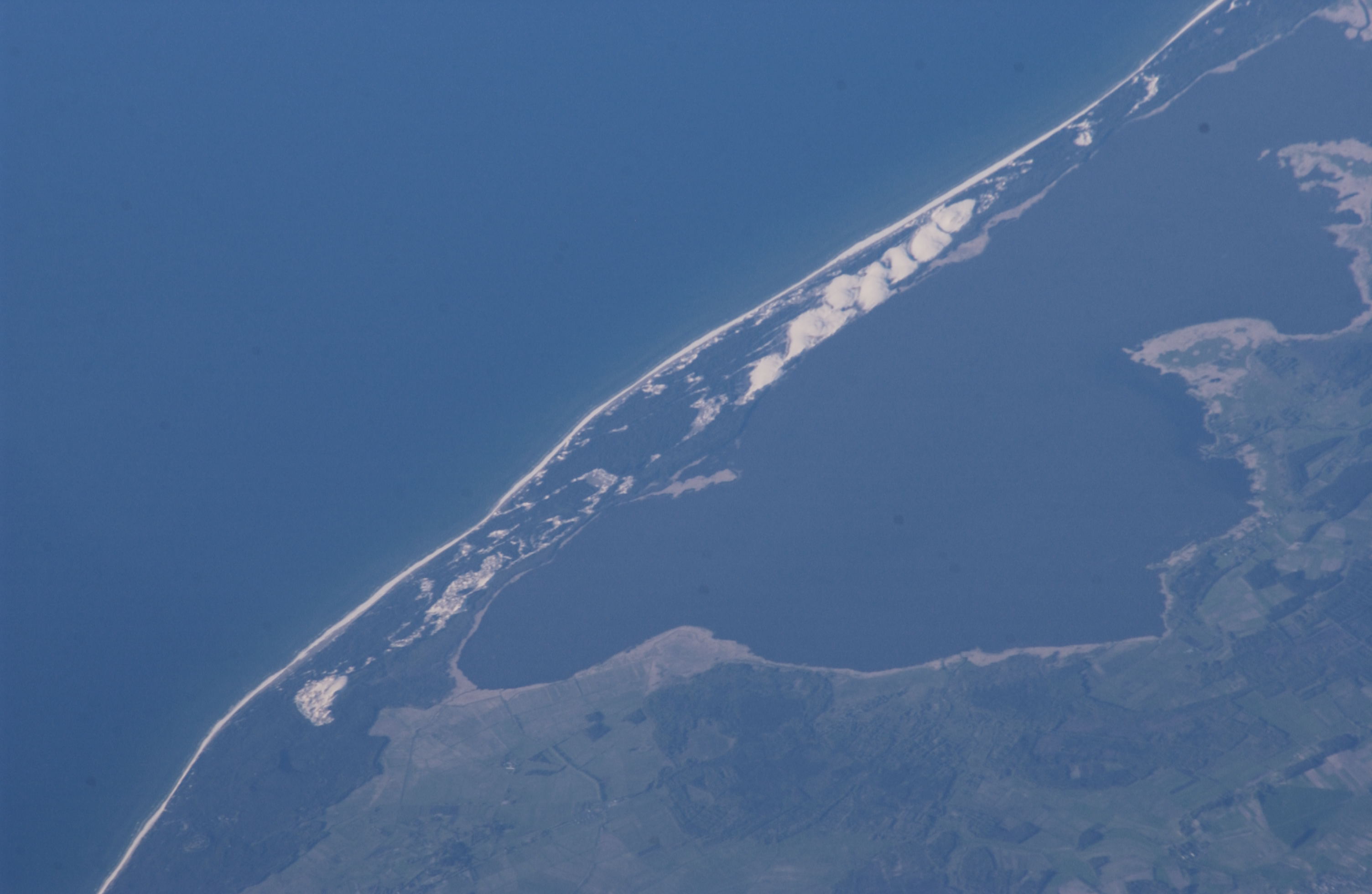


Spacecraft nadir point: 51.2° N, 15.1° E
Photo center point:
Photo center point by machine learning:
Photo center point:
Photo center point by machine learning:
Nadir to Photo Center:
Spacecraft Altitude: 186 nautical miles (344km)
Country or Geographic Name: | |
Features: | |
| Features Found Using Machine Learning: | |
Cloud Cover Percentage: | 0 (no clouds present) |
Sun Elevation Angle: | 14° |
Sun Azimuth: | 284° |
Camera: | NIKON D1X |
Focal Length: | 800mm |
Camera Tilt: | |
Format: | |
Film Exposure: | |
| Additional Information | |
| Width | Height | Annotated | Cropped | Purpose | Links |
|---|---|---|---|---|---|
| 3008 pixels | 1960 pixels | No | No | Not enhanced | Download Image |
| 640 pixels | 417 pixels | No | No | Download Image |
Download Packaged File
Download a Google Earth KML for this Image
View photo footprint information
No GeoTIFF is available for this photo.Image Caption: none
