ISS050-E-30102
| NASA Photo ID | ISS050-E-30102 |
| Focal Length | 1150mm |
| Date taken | 2017.01.02 |
| Time taken | 11:42:10 GMT |
4928 x 3280 pixels 1000 x 666 pixels 4928 x 3280 pixels 720 x 480 pixels 4928 x 3280 pixels 640 x 426 pixels
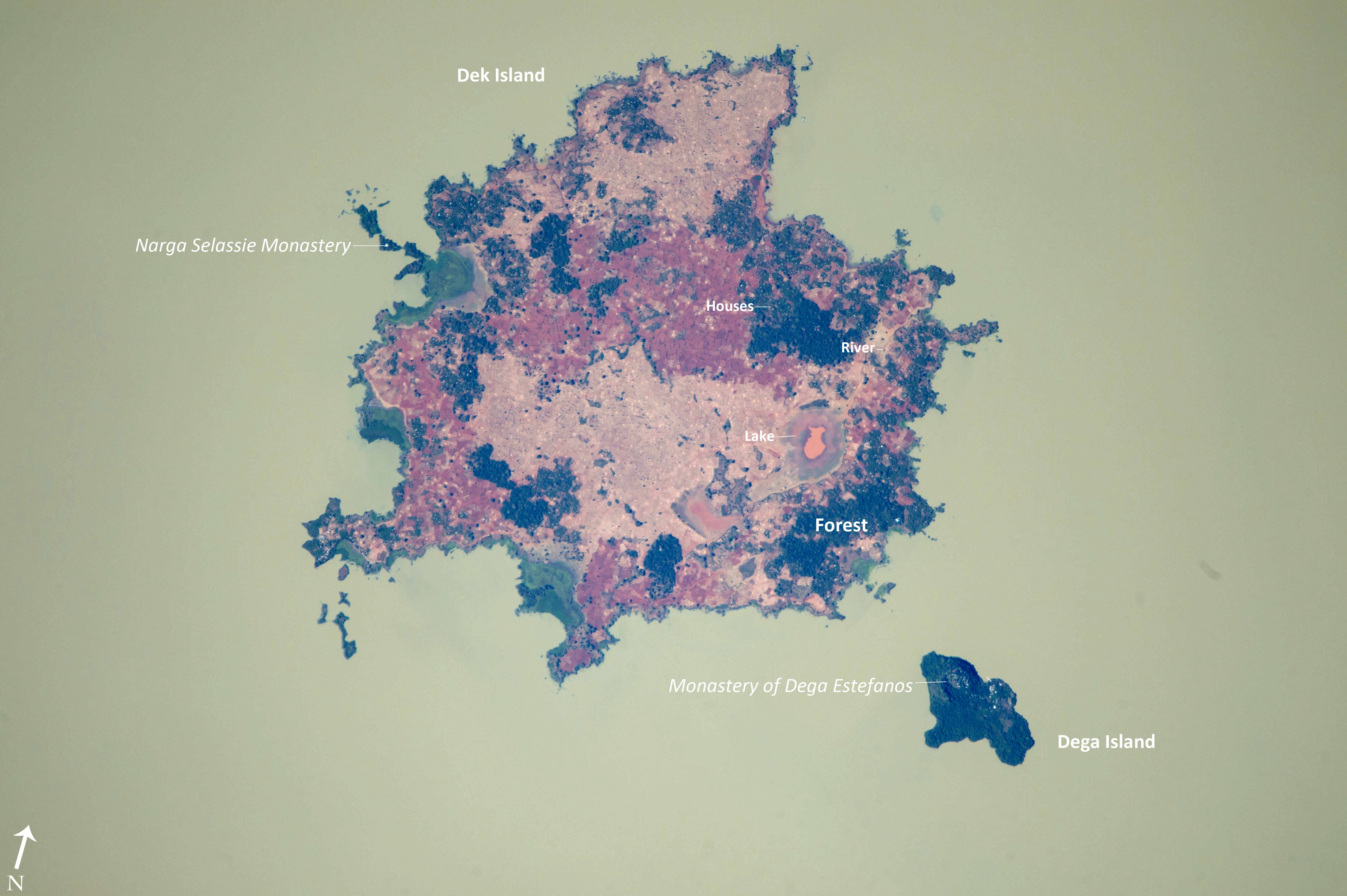


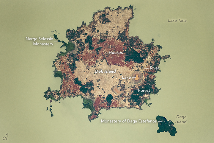
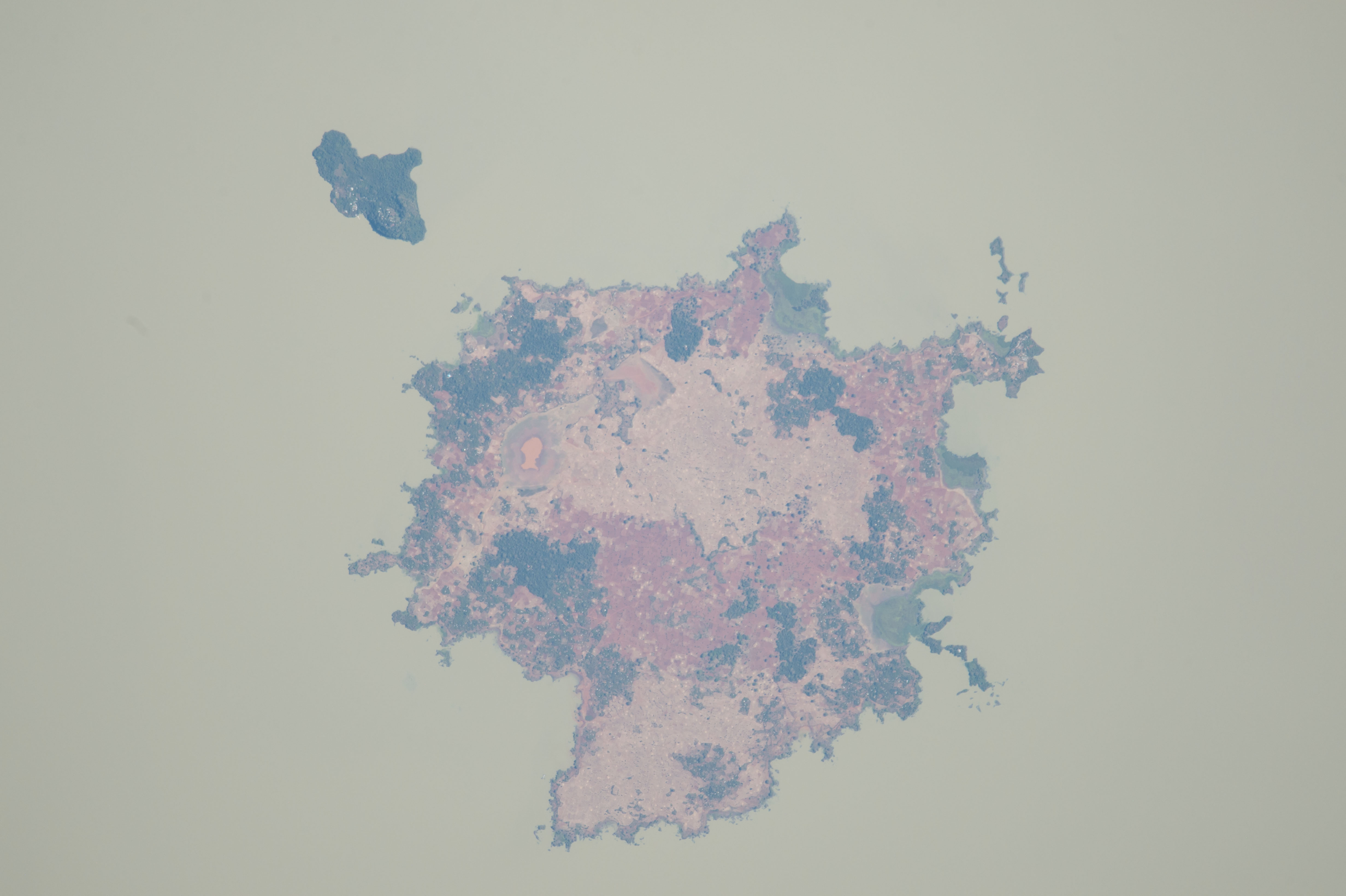


Photo center point: 11.9° N, 37.3° E
Photo center point by machine learning:
Country or Geographic Name: | ETHIOPIA |
Features: | DEK I., TANA L. DEGA I. |
| Features Found Using Machine Learning: | |
Cloud Cover Percentage: | 10 (1-10)% |
Sun Elevation Angle: | 44° |
Sun Azimuth: | 223° |
Camera: | Nikon D4 Electronic Still Camera |
Focal Length: | 1150mm |
Camera Tilt: | 22 degrees |
Format: | 4928E: 4928 x 3280 pixel CMOS sensor, 36.0mm x 23.9mm, total pixels: 16.6 million, Nikon FX format |
Film Exposure: | |
| Additional Information | |
| Width | Height | Annotated | Cropped | Purpose | Links |
|---|---|---|---|---|---|
| 4928 pixels | 3280 pixels | Yes | No | Earth From Space collection | Download Image |
| 1000 pixels | 666 pixels | No | No | Earth From Space collection | Download Image |
| 4928 pixels | 3280 pixels | No | No | NASA's Earth Observatory web site | Download Image |
| 720 pixels | 480 pixels | Yes | Yes | NASA's Earth Observatory web site | Download Image |
| 4928 pixels | 3280 pixels | No | No | Download Image | |
| 640 pixels | 426 pixels | No | No | Download Image |
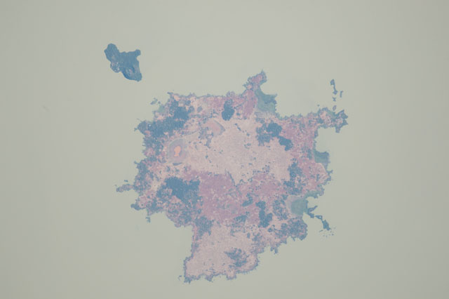
An astronaut aboard the International Space Station (ISS) took this colorful photograph of Dek and Daga Islands in Lake Tana in the Amhara Region of the Ethiopian Highlands. Dek Island (7 kilometers, 4.4 miles, from north to south) is the largest island in Lake Tana. Both islands are volcanic in origin, as is the Lake itself. Lake Tana is the largest lake in Ethiopia and acts as the headwaters of the Blue Nile River. The dark green areas are patches of forest while the lighter-toned and darker salmon-colored patches are agricultural fields. The murky green color of the water results from algal blooms (that live on nutrients supplied from fertilizing fields, wastewater, and other sources of runoff that create nutrient pollution). This long-lens image illustrates the level of detail possible from handheld digital camera photographs taken from the ISS--the numerous small white specks are the reflective tin roofs of houses and buildings.
Agricultural fields make up over 70% of Dek Island. This is a prime area for farming because of high-quality volcanic soils and heavy rains related to its location in the Intertropical Convergence Zone (ITCZ). Some of the more common crops are corn and millet that are consumed mostly by the islanders. Coffee and mangos are the economic mainstay, being shipped to the markets on the mainland.
Both islands are home to men-only monasteries of the Coptic Church, most famously the monastery of Narga Selassie on Dek Island and Dega Estefanos on Dega Island. For hundreds of years the islands have helped protect the monasteries during times of war. Dega Estefanos is the resting place of mummified emperors who ruled Ethiopia (also known as Abyssinia) centuries ago.
