ISS042-E-160966

| NASA Photo ID | ISS042-E-160966 |
| Focal Length | 19mm |
| Date taken | 2015.01.20 |
| Time taken | 06:59:37 GMT |
Resolutions offered for this image:
1000 x 666 pixels 540 x 360 pixels 2464 x 1640 pixels 720 x 480 pixels 4928 x 3280 pixels 640 x 426 pixels
1000 x 666 pixels 540 x 360 pixels 2464 x 1640 pixels 720 x 480 pixels 4928 x 3280 pixels 640 x 426 pixels


Cloud masks available for this image:
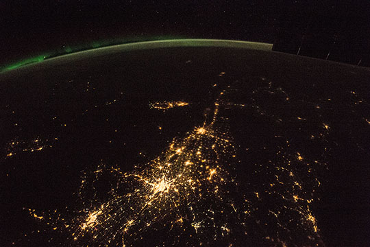
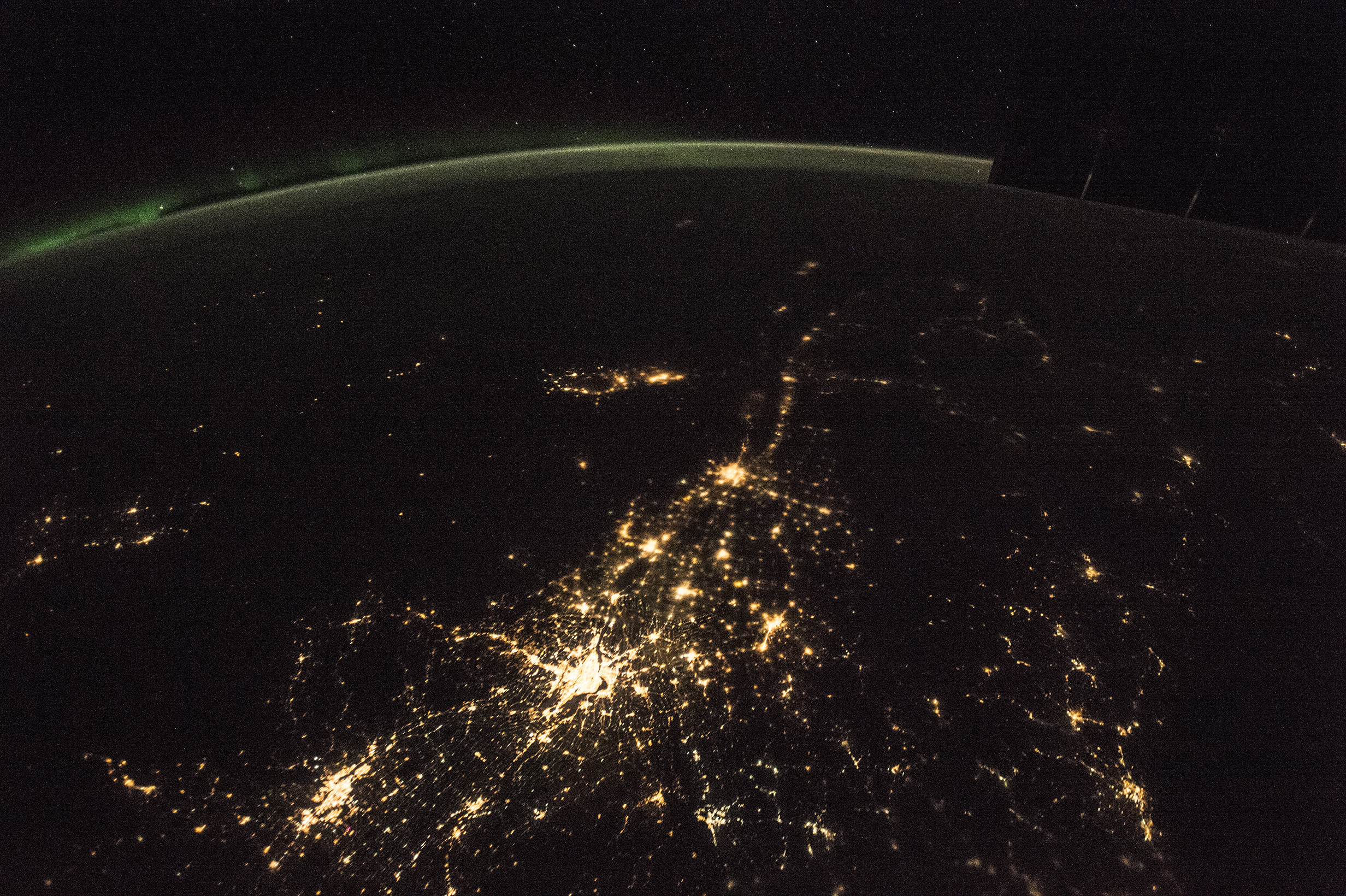
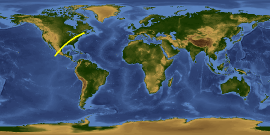
Spacecraft nadir point: 43.2° N, 74.3° W
Photo center point: 46.5° N, 71.5° W
Photo center point by machine learning:
Photo center point: 46.5° N, 71.5° W
Photo center point by machine learning:
Nadir to Photo Center: Northeast
Spacecraft Altitude: 218 nautical miles (404km)
Country or Geographic Name: | CANADA-Q |
Features: | PAN-EASTERN CANADA AT NIGHT |
| Features Found Using Machine Learning: | AURORA, PAN- |
Cloud Cover Percentage: | 0 (no clouds present) |
Sun Elevation Angle: | -57° |
Sun Azimuth: | 54° |
Camera: | Nikon D4 Electronic Still Camera |
Focal Length: | 19mm |
Camera Tilt: | 50 degrees |
Format: | 4928E: 4928 x 3280 pixel CMOS sensor, 36.0mm x 23.9mm, total pixels: 16.6 million, Nikon FX format |
Film Exposure: | |
| Additional Information | |
This photo is one of the photos used to create this time-lapse video:
| Width | Height | Annotated | Cropped | Purpose | Links |
|---|---|---|---|---|---|
| 1000 pixels | 666 pixels | No | Yes | Earth From Space collection | Download Image |
| 540 pixels | 360 pixels | Yes | Yes | Earth From Space collection | Download Image |
| 2464 pixels | 1640 pixels | No | No | NASA's Earth Observatory web site | Download Image |
| 720 pixels | 480 pixels | Yes | No | NASA's Earth Observatory web site | Download Image |
| 4928 pixels | 3280 pixels | No | No | Download Image | |
| 640 pixels | 426 pixels | No | No | Download Image |
Download Packaged File
Download a Google Earth KML for this Image
View photo footprint information
Download a GeoTIFF for this photo
Image Caption: none
