STS059-86-55

| NASA Photo ID | STS059-86-55 |
| Focal Length | 250mm |
| Date taken | 1994.04.11 |
| Time taken | 21:20:17 GMT |
Resolutions offered for this image:
3940 x 3940 pixels 639 x 639 pixels 5700 x 5900 pixels 500 x 518 pixels 640 x 480 pixels
3940 x 3940 pixels 639 x 639 pixels 5700 x 5900 pixels 500 x 518 pixels 640 x 480 pixels


Cloud masks available for this image:
Spacecraft nadir point: 35.7° N, 115.4° W
Photo center point: 36.0° N, 115.0° W
Photo center point by machine learning:
Photo center point: 36.0° N, 115.0° W
Photo center point by machine learning:
Nadir to Photo Center: Northeast
Spacecraft Altitude: 119 nautical miles (220km)
Country or Geographic Name: | USA-NEVADA |
Features: | LAS VEGAS AREA |
| Features Found Using Machine Learning: | |
Cloud Cover Percentage: | 5 (1-10)% |
Sun Elevation Angle: | 55° |
Sun Azimuth: | 225° |
Camera: | Hasselblad |
Focal Length: | 250mm |
Camera Tilt: | 14 degrees |
Format: | 5046: Kodak, natural color positive, Lumiere 100/5046, ASA 100, standard base |
Film Exposure: | Normal |
| Additional Information | |
| Width | Height | Annotated | Cropped | Purpose | Links |
|---|---|---|---|---|---|
| 3940 pixels | 3940 pixels | No | No | Earth From Space collection | Download Image |
| 639 pixels | 639 pixels | No | No | Earth From Space collection | Download Image |
| 5700 pixels | 5900 pixels | No | No | Download Image | |
| 500 pixels | 518 pixels | No | No | Download Image | |
| 640 pixels | 480 pixels | No | No | Download Image |
Download Packaged File
Download a Google Earth KML for this Image
View photo footprint information
Download a GeoTIFF for this photo
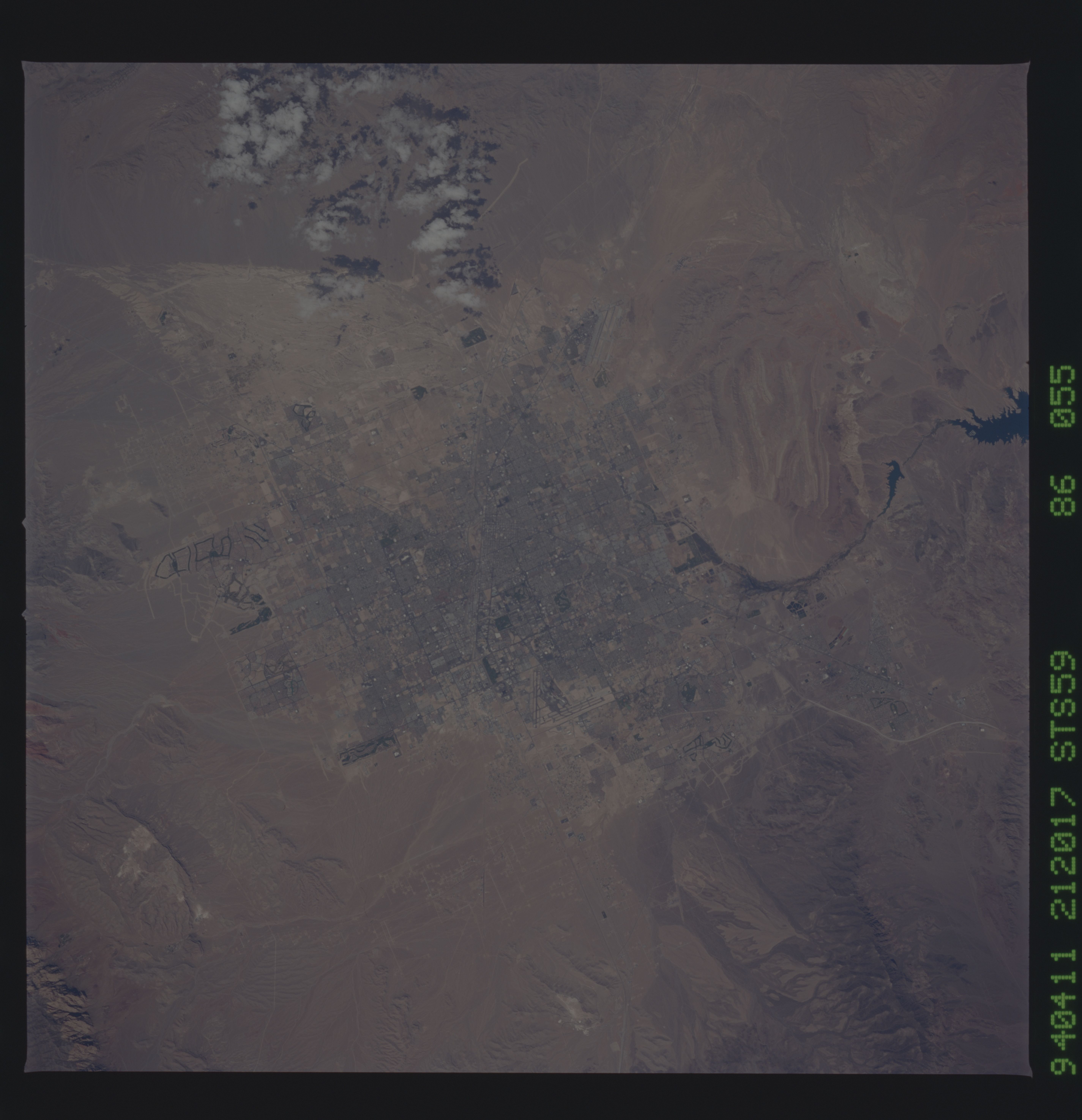
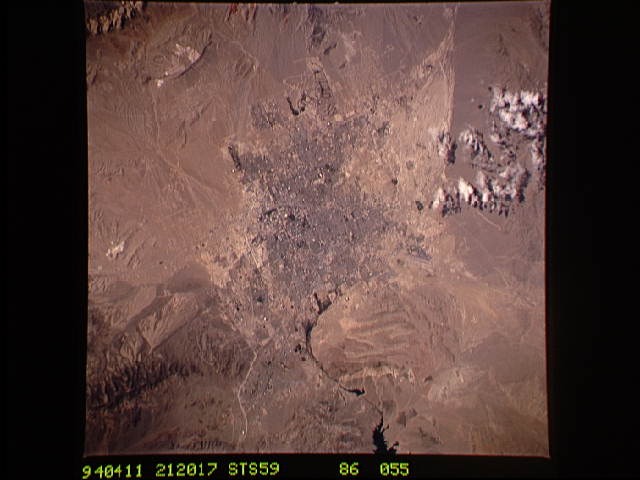
Image Caption: STS059-086-055 Las Vegas, Nevada, U.S.A. April 1994
The tans and light browns of a desert environment provide a striking background for the setting of the dynamic, year-round resort and rapidly growing city of Las Vegas (approximate population of 750 000). Because clear atmosphere with low humidity exists, this near-vertical photograph reveals much Las Vegas urban infrastructure--the V-shaped runways of McCarran International Airport near the center of the photograph (along the southern edge of the city); numerous golf course fairways (dark, linear features) contrasting sharply with the nonvegetated land; the street network within the city (even famous Las Vegas Boulevard, the "Strip," with the well-known resort hotels); major highways that connect Las Vegas with surrounding states; and Nellis Air Force Base runways barely visible northeast of the city. Because of a lack of vegetation, several drainage patterns are very pronounced, especially the fan-shaped lighter area north of the city. The eastern side of the photograph shows the Las Vegas Wash, which is an extension of Las Vegas Bay (part of Lake Mead) that be seen gradually curving around a hilly area east of the city. Because it provides much detailed information, this type of photography is especially useful for urban and regional planners in monitoring and mapping changes to the physical landscape.
The tans and light browns of a desert environment provide a striking background for the setting of the dynamic, year-round resort and rapidly growing city of Las Vegas (approximate population of 750 000). Because clear atmosphere with low humidity exists, this near-vertical photograph reveals much Las Vegas urban infrastructure--the V-shaped runways of McCarran International Airport near the center of the photograph (along the southern edge of the city); numerous golf course fairways (dark, linear features) contrasting sharply with the nonvegetated land; the street network within the city (even famous Las Vegas Boulevard, the "Strip," with the well-known resort hotels); major highways that connect Las Vegas with surrounding states; and Nellis Air Force Base runways barely visible northeast of the city. Because of a lack of vegetation, several drainage patterns are very pronounced, especially the fan-shaped lighter area north of the city. The eastern side of the photograph shows the Las Vegas Wash, which is an extension of Las Vegas Bay (part of Lake Mead) that be seen gradually curving around a hilly area east of the city. Because it provides much detailed information, this type of photography is especially useful for urban and regional planners in monitoring and mapping changes to the physical landscape.
